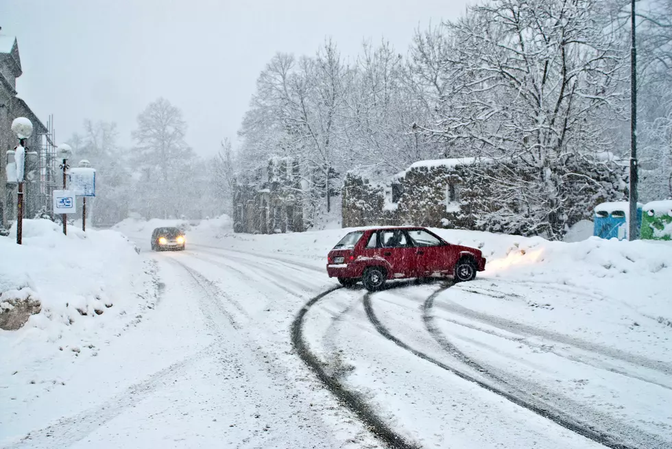
Another Snowstorm is Headed Our Way. How Much Snow is Expected?
Central New Yorkers are digging out from a record snow storm that dropped up to 50 inches of snow on parts of the state last Friday, and now another storm seems to be headed this way.
"It's another tricky one to call," said Eyewitness News Chief Meteorologist Rachel Witter speaking with WIBX's Keeler Show on Monday. "We really won't know until Tuesday how much snow this storm will produce; but, It does seem that it isn't carrying with it as much moisture," she added. However, the mid-week storm is similar to last week's in that a pair of low pressures are tracking towards the area, one from the Great Lakes and another is coming up the east coast.
The National Weather Service in Binghamton is predicting heavy snow to enter the area by Wednesday afternoon; but, it's still unclear how much.
Light snow will move in Tuesday night but become heavier during the
day Wednesday with periods of heavy snowfall possible in the
afternoon and evening hours. Snow covered roads and hazardous travel
conditions are possible into Thursday.
-National Weather Service, Binghamton, NY
NWS forecasters say the temperatures in Greater Utica and the Mohawk Valley will be cold enough to produce snow in our area; it's just not clear how much we will receive. Forecasters do say that Western New York will most likely be spared by this storm as the intensity will be focused to the east.
Last Friday, a damaging winter storm dumped several inches of wet, heavy snow on the region causing thousands of power outages due to downed power lines and trees. National Grid reported 176,000 customers were without power at one point during and immediately after the storm. The company reports about 2500 customers are still without power as of Monday afternoon.
More From WIBX 950