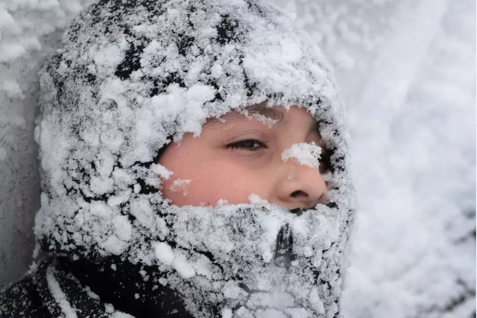
Dangerous Wind Chill Values Expected For Central New York
It may be sunny, but the temperatures don't reflect that. The National Weather Service out of Binghamton has issued a Wind Chill Warning for much of Central New York.
Officially, the Wind Chill Warning goes into effect at 2 p.m. on Wednesday and will last until 6 p.m. Thursday. However, temperatures are already off to a frigid start and the dangers are there.
Though CNY won't feel the same temperatures facing the Midwest, temperatures are expected to drop as low as -22 degrees with wind chill. According to the NWS the forecast looks like,
Wednesday
Snow showers likely, mainly between 11am and 3pm. The snow could be heavy at times. Areas of blowing snow after 1pm. Partly sunny, with a high near 12. Wind chill values as low as -14. West wind 5 to 10 mph increasing to 12 to 17 mph in the afternoon. Winds could gust as high as 30 mph. Chance of precipitation is 70%. New snow accumulation of less than one inch possible.Wednesday Night
Areas of blowing snow before 8pm. Mostly cloudy, with a low around -3. Wind chill values as low as -20. Southwest wind 11 to 14 mph.Thursday
A slight chance of snow showers between 10am and 3pm. Areas of blowing snow after 9am. Partly sunny and cold, with a high near 7. Wind chill values as low as -22. West wind 13 to 17 mph, with gusts as high as 28 mph. Chance of precipitation is 20%.
Tips for staying safe in this cold weather include staying indoors and bundling up if you have to go out. Be sure to check on small children and the elderly as they are more susceptible to symptoms of cold weather. With extreme temperatures frost bite can set in within minutes.
Temperatures are expected to remain cold until possibly early next week.
More From WIBX 950