Download the WIBX 950 App and Send Us Pictures of the Snow
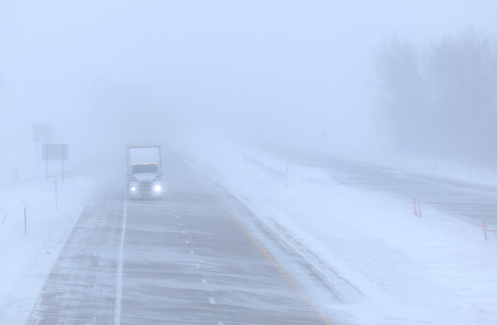
The Greater Utica area is about to be slammed with a significant Nor'Easter through Wednesday evening with total snow accumulations reaching better than 10 inches, according to forecasters. The winter storm is expected to start Monday night at 9 p.m. and last through Wednesday at 9 p.m., with the heaviest snow and wind expected on Tuesday.
Who will get the most snow?
When it's all said and done, which local areas will have the worst conditions? Which areas get the most snow and poorest visibility? We at WIBX would like proof so we're asking you to take pictures of the snowfall outside your home or car and send them into us via the WIBX950 smartphone app. Just download the app here for your iPhone or Android device and then take your best shots. Send them in via the app and we might publish your photo for all to see.
Get Creative
Smartphones are producing some pretty amazing photos these days so be sure to take advantage of everything yours has to offer. Use the built in filters and styles and if you're feeling adventurous, dig into the advanced settings to create the a beautiful photo of the anticipated storm. If you're a photo novice, just take a shot and let the camera in your phone do the work; either way, we want to see what it's like outside your window over the next few days.
Let us know your location
When you send in your photo, be sure to let us know the location of the picture so we can end the age old winter storm question: "who got the most snow?"
_____________________________________________________________________________
Follow Bill Keeler on Facebook
More From WIBX 950