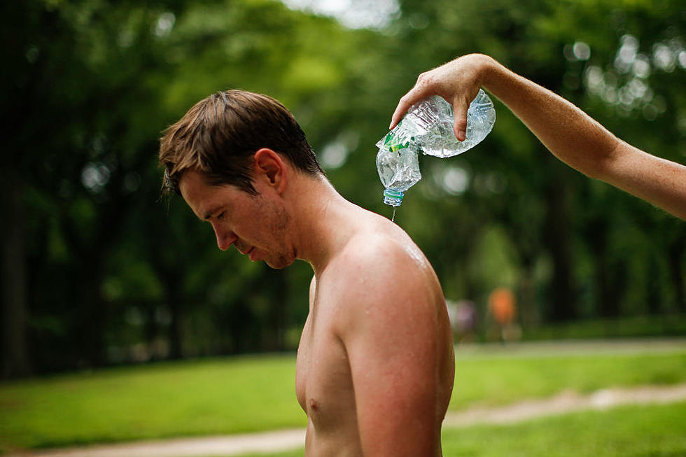
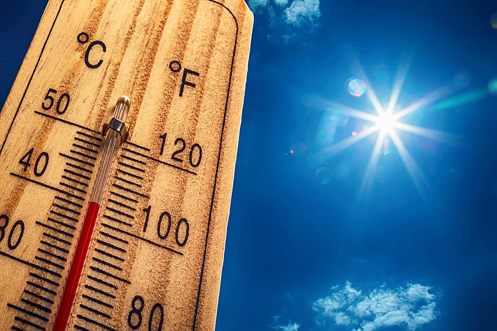
Heat Advisory Issued and Cooling Stations Opened as Temps Could Exceed 105 in CNY
It will feel like it's over 100 degrees this week as the heat index soars with oppressive humidity.
The hot and humid weather has taken hold of CNY and heat advisories are in effect starting Tuesday afternoon, with peak heat indexes of 95 to 104 expected. The heat and humidity will likely persist into Wednesday so it's possible the Heat Advisory could get extended.
...HEAT ADVISORY IN EFFECT FROM 11 AM TO 8 PM EDT TUESDAY...
The National Weather Service (NWS) in Binghamton has issued a Heat Advisory, which is in effect from 11 AM to 8 PM EDT Tuesday.
* HEAT INDEX VALUES...95 to 104 Tuesday afternoon, due to
temperatures in the upper 80s to lower 90s and dewpoints in the
lower 70s.
* TIMING...Peak heat index Tuesday afternoon. Very warm and humid
conditions will continue into Wednesday for much of the area.
* IMPACTS...The heat and humidity may cause heat stress during
outdoor exertion or extended exposure.
PRECAUTIONARY/PREPAREDNESS ACTIONS...
A Heat Advisory means that a period of hot temperatures is expected. The combination of hot temperatures and high humidity will combine to create a situation in which heat illnesses are possible. Drink plenty of fluids, stay in an air-conditioned room, stay out of the sun and check up on relatives and neighbors.
...Tuesday will be the hottest day of the upcoming week. A large ridge of high pressure sets up over the Mid-Atlantic region with our area being under the northern side of it. This will bring a southwesterly flow of very warm and humid conditions to Central NY and Northeast PA. With forecast soundings indicating substantial mid-level dry air and capping, believe just about the entire forecast area will likely stay dry. Expect mostly sunny skies, with highs reaching the upper 80s to mid-90s. This will combine with dewpoints between 68-75, will create a heat index of 95-104 degrees. It's possible that a few locations in the Syracuse metro area see peak heat indices Tuesday afternoon eclipsing 105 degrees...but not enough confidence to go with an excessive heat watch at this time. This will need to be monitored closely in future updates. The entire forecast area is now under a heat advisory for Tuesday. West-southwest winds do increase slightly Tuesday afternoon...ranging from 7-15 mph, providing a slight breeze...
Central New York Cooling Centers:
Herkimer County
Always call before you go to make sure the cooling center is open.
Community members are encouraged to visit Herkimer County Libraries during regular hours of operation. There is currently no information for any cooling centers in Herkimer County although it's possible that could change. To see the latest information check the Herkimer County Office of Emergency Services on Facebook or use the Herkimer County OEM App.
Oneida County
Always call before you go to make sure the cooling center is open.
- Ava Dorfman Senior Center, 305 E Locust St, Rome, 13440, 315-337-8230
- New Hartford Senior Center, 1 Sherman St, New Hartford, 13413, 315-724-8966
- New York Mills Senior Center, 320 Main St, New York Mills, 13417, 315-736-7360
- North Utica Senior Citizens, 50 Riverside Drive, Utica, 13502, 315-724-2430
- Parkway Senior Center, 220 Memorial Pkwy Utica, 13501, 315-223-3073
- Sangertown Mall, 8555 Seneca Turnpike, New Hartford, 13413, 315-797-8520
- South Rome Senior Center, 112 Ridge St, Rome, 13440, 315-339-6457
- Whitestown Senior Center, 1 Championship Way, Whitesboro, 13492, 315-768-6047
Onondaga County
Always call before you go to make sure the cooling center is open.
- Baldwinsville Public Library, 33 East Genesee Street, Baldwinsville, 13207, 315-635-5631
- Beauchamp Branch Library, 2111 S. Salina Street, Syracuse, 13205, 315-435-3395
- Betts Branch Library, 4862 S. Salina Street, Syracuse, 13205, 315-435-1940
- Camillus Senior Center, 251/2 First Street, Camillus, 13031, 315-672-3163
- Central Library - The Galleries of Syracuse, 447 S. Salina Street, Syracuse, 13202, 315-435-1900
- Cicero Senior Center, 5924 Lathrop Drive, Cicero, 13039, 315-452-3298
- Destiny USA, 9090 Destiny USA Drive, Syracuse, 13204, 315-466-6000
- Dewitt Community Library, 5110 Jamesville Road, Jamesville, 13078, 315-446-3578
- Dewitt Town Hall, 5400 Butternut Drive, East Syracuse, 13057, 315-446-3910
- Dunbar Center, 1453 State Street, Syracuse, 13205, 315-476-4269
- East Syracuse Free Library, 4990 James Street, East Syracuse, 13057, 315-437-4841
- Elbridge Free Library, 241 East Main Street, Elbridge, 13060, 315-689-7111
- Fairmount Community Library, 406 Chapel Drive, Syracuse, 13219, 315-487-8933
- Fayetteville Free Library, 300 Orchard Street, Fayetteville, 13066, 315-637-6374
- Fayetteville Senior Center, 584 E Genesee Street, Fayetteville, 13066, 315-637-9025
- Great Northern Mall, 4155 State Route 31, Clay, 13041, 315-622-8928
- Hazard Branch Library, 1620 W. Genesee Street, Syracuse, 13204, 315-435-5326
- Jewish Community Center, 5655 Thompson Rd, Dewitt, 13214, 315-445-2360
- Jordan Bramley Library, 15 Mechanic Street, Jordan, 13080, 315-689-3296
- Jordan Elbridge Community Center, 1 Route 31, Jordan, 13080, 315-689-9031
- Lafayette Public Library, Rt. 11, North Lafayette, 13084, 315-677-3782
- Liverpool Public Library, 310 Tulip Street, Liverpool, 13088, 315-457-0310
- Magnarelli Community Center, 2300 Grant Blvd, Syracuse, 13208, 315-473-2673
- Manlius Library, 1 Arkie Albanese Ave, Manlius, 13104, 315-682-6400
- Manlius Senior Center, 1 Arkie Albanese Ave, Manlius, 13104, 315-682-7889
- Marcellus Free Library, 32 Maple Street, Marcellus, 13108, 315-673-3221
- Maxwell Memorial Library, 14 Genesee Street, Camillus, 13031, 315-672-3661
- Minoa Library, 242 N. Main Street, Minoa, 13116, 315-656-7401
- Mundy Branch Library, 1204 S. Geddes Street, Syracuse, 13204, 315-435-3797
- NOPL at Brewerton, 5437 Library Street, Brewerton, 13029, 315-676-7484
- NOPL at Cicero, 8686 Knowledge Lane, Cicero, 13039, 315-699-2032
- NOPL at North Syracuse, 100 Trolley Barn Lane, North Syracuse, 13212, 315-458-6184
- Northeast Community Center, 716 Hawley Ave, Syracuse, 13203, 315-472-6343
- Onondaga Free Library, 4840 W. Seneca Tpk., Syracuse, 31215, 315-492-1727
- Onondaga Senior Center, 4834 Velasko Road, Syracuse, 13215, 315-469-3464
- Paine Branch Library, 113 Nichols Avenue, Syracuse, 13206, 315-435-5442
- Petit Branch Library, 105 Victoria Place, Syracuse, 13210, 315-435-3636
- Robert Cecile Community Center, 174 W Seneca Turnpike, Syracuse, 13205, 315-473-2678
- Salina Civic Center, 2826 Lemoyne Ave, Mattydale, 13211, 315-455-7096
- Salina Library, 100 Belmont Street, Mattydale, 13211, 315-454-4524
- Salvation Army Senior Center, 749 S. Warren Street, Syracuse, 13202, 315-479-1332
- Shoppingtown Mall, 3649 Erie Blvd, East Syracuse, 13214, 315-446-9160
- Skaneateles Community Center, 97 State St, Skaneateles, 13152, 315-685-2266
- Skaneateles Library, 49 E. Genesee Street, Skaneateles, 13152, 315-685-5135
- Solvay Public Library, 615 Woods Road, Solvay, 13209, 315-468-2441
- Soule Branch Library, 101 Springfield Road, Syracuse, 13214, 315-435-5320
- Syracuse Model Neighborhood Facility at Southwest Community Center, 401 South Avenue, Syracuse, 13204, 315-474-6823
- Tully Free Library, 12 State Street, Tully, 13159, 315-696-8606
- Westcott Community Center, 826 Euclid Ave, Syracuse, 13210, 315-478-8634
- White Branch Library, 763 Butternut Street, Syracuse, 13208, 315-435-3519
Madison County
Always call before you go to make sure the cooling center is open.
- Red Cross - Madison-Oneida Branch, 134 Vanderbilt Ave, Oneida, 13421, 315-363-2900 (Call for cooling center locations)
Lewis County
Always call before you go to make sure the cooling center is open.
- Lewis County Court House, 7660 N State St, Lowville, 13367, 315-376-5347
- Lewis County General Hospital, 7785 N State St, Lowville, 13367, 315-376-5200
- Walmart Supercenter, 7155 E State St #12 South, Lowville, 13367, 315-376-7030
Extended NWS Forcast:
Today: Partly sunny, with a high near 86. Calm wind becoming southwest around 6 mph in the afternoon.
Tonight: Scattered showers and thunderstorms, mainly before 7pm. Mostly cloudy, with a low around 71. South wind 3 to 5 mph. Chance of precipitation is 30%. New rainfall amounts of less than a tenth of an inch, except higher amounts possible in thunderstorms.
Tuesday: Mostly sunny, with a high near 91. Heat index values as high as 100. West wind 7 to 13 mph.
Tuesday Night: Partly cloudy, with a low around 72. Southwest wind 3 to 6 mph.
Wednesday: A slight chance of showers and thunderstorms after 2pm. Mostly sunny, with a high near 89. Southwest wind 6 to 13 mph. Chance of precipitation is 20%.
Wednesday Night: A chance of showers and thunderstorms. Mostly cloudy, with a low around 67. Chance of precipitation is 50%.
Thursday: A chance of showers before 2pm. Partly sunny, with a high near 77. Chance of precipitation is 30%.
Thursday Night: Mostly cloudy, with a low around 56.
Friday: Mostly sunny, with a high near 78.
Be Prepared for the heat and humidity:
- Slow down on strenuous activity and exercise, especially during the sun's peak hours of 11 a.m. to 4 p.m.
- Exercise should be done in the early morning between 4 a.m. and 7 a.m.
- Eat less protein and more fruits and vegetables. Protein produces and increases metabolic heat, which causes water loss. Eat small meals, but eat more often. Do not eat salty foods
- Drink at least two to four glasses of water per hour during extreme heat, even if you do not feel thirsty. Avoid beverages containing alcohol or caffeine
- If possible, stay out of the sun and stay in air conditioning. The sun heats the inner core of your body, resulting in dehydration. If air conditioning is not available, stay on the lowest floor, out of the sunshine, or go to a public building with air conditioning
- If you must go outdoors, wear sunscreen with a high sun protector factor rating (at least SPF 15) and a hat to protect your face and head. When outdoors, wear loose-fitting, lightweight and light-colored clothing. Cover as much skin as possible to avoid sunburn and over-warming effects of sunlight on your body
- Do not leave children, pets or those who require special care in a parked car or vehicle during periods of intense summer heat. Temperatures inside a closed vehicle can reach over 140 degrees Fahrenheit quickly. Exposure to such high temperatures can kill within a matter of minutes
- Make an effort to check on your neighbors during a heat wave, especially if they are elderly, have young children or have special needs. Make sure there is enough food and water for pets
Know the Signs of Heat-Related Illness:
Prolonged exposure to the heat can be harmful and potentially fatal. Call 911 if you or someone you know shows signs or symptoms of heat illness, including:
- Headache
- Lightheadedness
- Muscle cramps
- Nausea
- Vomiting
For more information on how to stay safe during periods of excessive heat, click here.
More From WIBX 950