How Much Snow Are We Expecting Thursday Night?
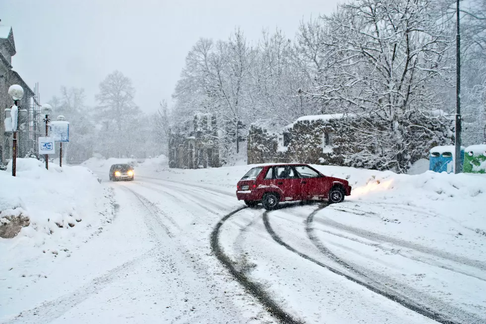
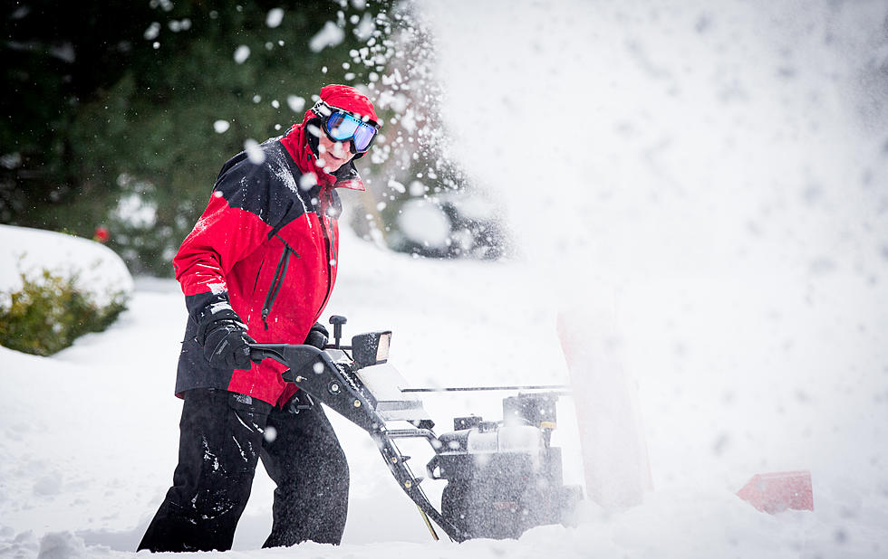
It's been a sloppy start to 'unofficial winter' this week in the Mohawk Valley and forecasters say there's a significant amount of the 'white stuff' on the way Thursday night.
"We seem to be into a winter-like pattern that's probably going to stick with us for a while,"
said EyeWitness News Chief Meteorologist Rachel Witter, speaking on the Keeler Show Wednesday morning. Witter predicted a potentially significant snowfall Thursday night and Friday.
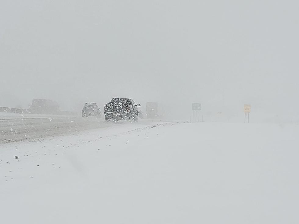
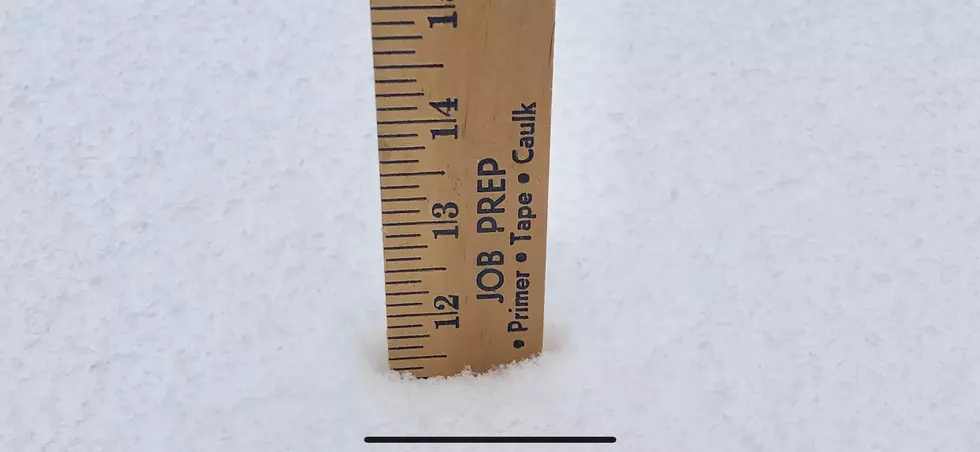
The National Weather Service says a large coastal storm will make way into the area with heavy snow beginning Thursday night and lasting into Friday morning. Early estimated totals of more than 6 inches of snow accumulation is expected before turning to a lighter mix of rain, snow and ice later Friday. On Wednesday afternoon, the National Weather Service issued a Winter Storm Watch for Oneida County and much of Central New York.
Updated by the National Weather Service on Wednesday, 3:15 p.m. -
TOTAL SNOW ACCUMULATIONS GREATER THAN 6 INCHES, ALONG WITH A PERIOD OF SIGNIFICANT SLEET AND FREEZING RAIN POSSIBLE. ICE ACCUMULATIONS UP TO AN INCH POSSIBLE. * WHERE...IN PENNSYLVANIA, SUSQUEHANNA AND NORTHERN WAYNE COUNTIES. IN NEW YORK, NORTHERN ONEIDA, MADISON, SOUTHERN ONEIDA, CHENANGO, OTSEGO, BROOME AND DELAWARE COUNTIES. * WHEN...FROM THURSDAY AFTERNOON THROUGH FRIDAY AFTERNOON. * ADDITIONAL DETAILS...TRAVEL COULD BECOME DIFFICULT BEGINNING THURSDAY AFTERNOON AND EVENING, LASTING INTO FRIDAY MORNING. THE HAZARDOUS CONDITIONS COULD IMPACT THE AFTERNOON AND EVENING COMMUTE ON THURSDAY AND THE MORNING COMMUTE ON FRIDAY. PRECAUTIONARY/PREPAREDNESS ACTIONS... A WINTER STORM WATCH MEANS THERE IS POTENTIAL FOR SIGNIFICANT SNOW, SLEET OR ICE ACCUMULATIONS THAT MAY IMPACT TRAVEL. CONTINUE TO MONITOR THE LATEST FORECASTS.
Stay tuned to WIBX for the latest forecast and storm totals along with updates on local school and business closures and delays due to severe weather.
More From WIBX 950