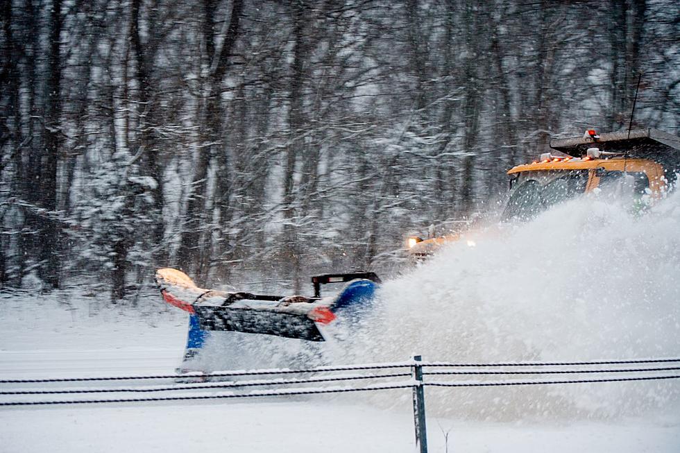
Snowstorm Hitting Utica, Oneida County
A heavy band of heavy snow began hitting the Utica and Oneida County area on Monday morning and forecasters are expecting quite a bit more throughout the day.
According to The Weather Channel, snow accumulations could top 12 or more inches with snowfall of 1-2 inches per hours during portions of the day today. However, the heaviest hit areas will be North of the Thruway and the Utica area:
- * HAZARDS... SNOW AND BLOWING SNOW.
- * ACCUMULATIONS... 6 TO 12 INCHES OF SNOW... HEAVIEST ALONG AND NORTH OF THE NEW YORK THRUWAY. SIGNIFICANTLY LESS IN SOUTHERN PORTIONS OF ONONDAGA AND MADISON COUNTIES.
- * TIMING... SNOW SHOWERS WILL ORGANIZE INTO A BAND OF HEAVY LAKE EFFECT SNOW WHICH WILL SLOWLY SHIFT SOUTH INTO THE AREA THIS MORNING... LASTING MUCH OF THE DAY BEFORE LIFTING BACK NORTHWARD THIS EVENING.
A Lake Effect Snow Warning is in place until 10 p.m. tonight for Norther Onondaga, Northern Madison and Oneida Counties. Syracuse, Rome and Utica will be impacted but, again the heaviest snowfall is expected a bit more to the North of these cities, according to The Weather Channel. Brewerton, Cicero and Sylvan Beach are expected to be hit hardest.
More From WIBX 950