Winter Weather Advisory For CNY
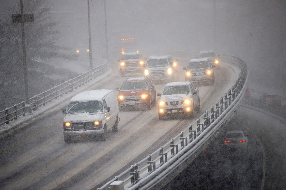
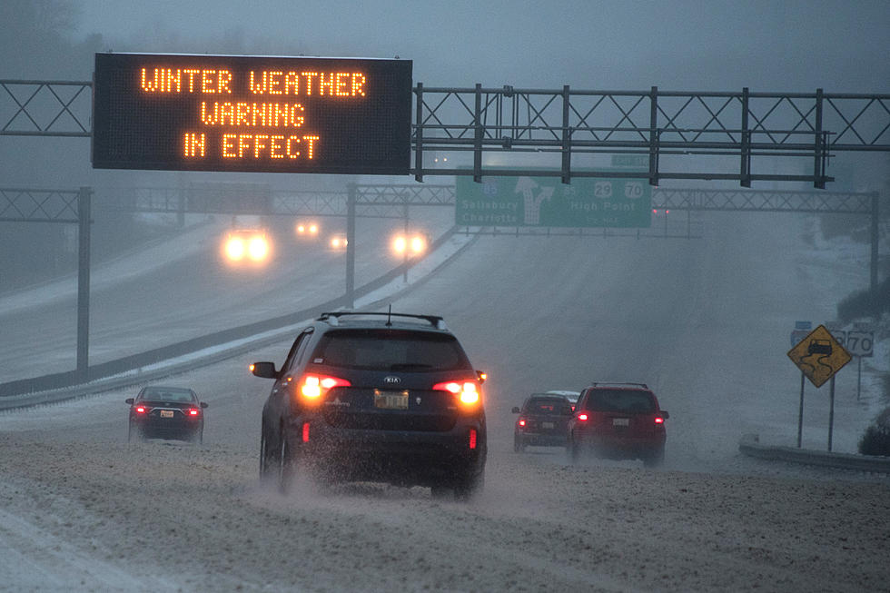
Temperatures are warmer, and that can mean only one thing. Here comes the snow. The National Weather Service has issued a Winter Weather Advisory for CNY.
The advisory is in effect until tomorrow morning at 7. 4 to 6 inches of snow will be possible, the majority of it will early tonight into Monday morning.
...WINTER WEATHER ADVISORY REMAINS IN EFFECT FROM 7 AM THIS
MORNING TO 7 AM EST MONDAY...
* LOCATIONS...ONEIDA AND OTSEGO COUNTIES...AS WELL AS THE
WESTERN CATSKILLS IN NEW YORK...AND THE POCONOS IN NORTHEAST
PENNSYLVANIA.
NORTHERN ONEIDA-SOUTHERN ONEIDA-HERKIMER COUNTY-THE MOHAWK VALLEY-OTSEGO-DELAWARE-SULLIVAN-NORTHERN WAYNE-PIKE-SOUTHERN WAYNE
* ACCUMULATIONS...4 TO 6 INCHES OF SNOW.
* TIMING...OCCASIONAL LIGHT SNOW WILL SPREAD INTO THE REGION THIS
MORNING...GENERALLY BETWEEN 8 AM AND NOON. THE STEADIEST AND
HEAVIEST SNOWFALL IS EXPECTED FROM LATE THIS AFTERNOON THROUGH
THE EVENING HOURS. SNOW SHOULD TAPER OFF AFTER MIDNIGHT.
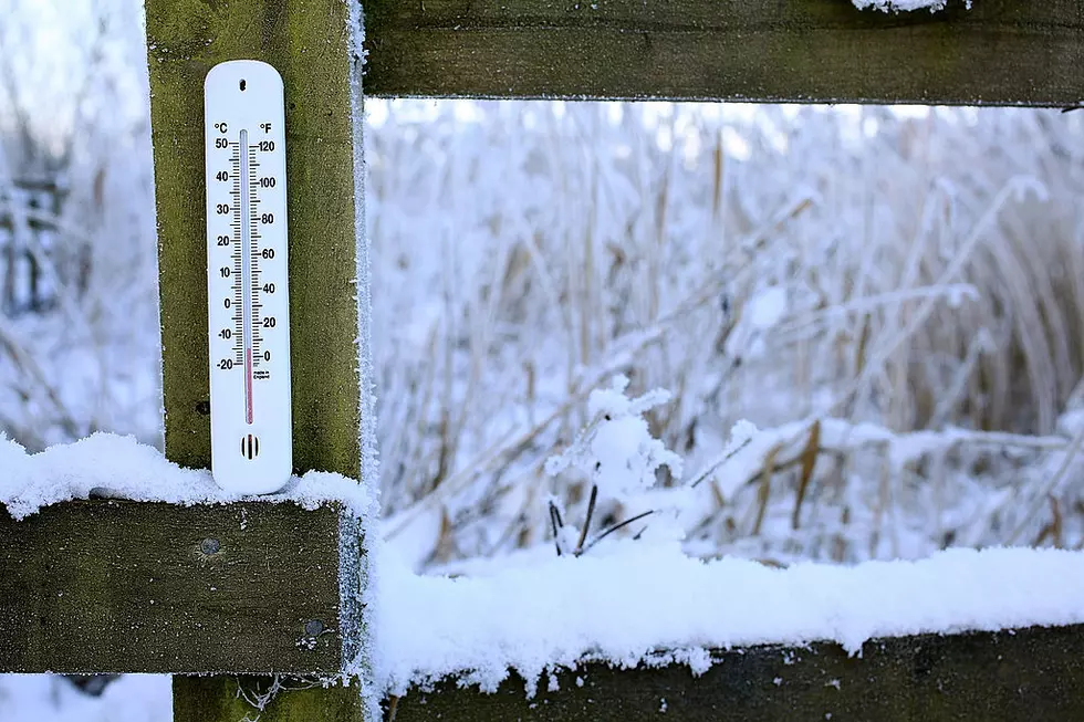
* TEMPERATURES...7 TO 27 ABOVE.
* WINDS...SOUTHWEST 5 TO 10 MPH.
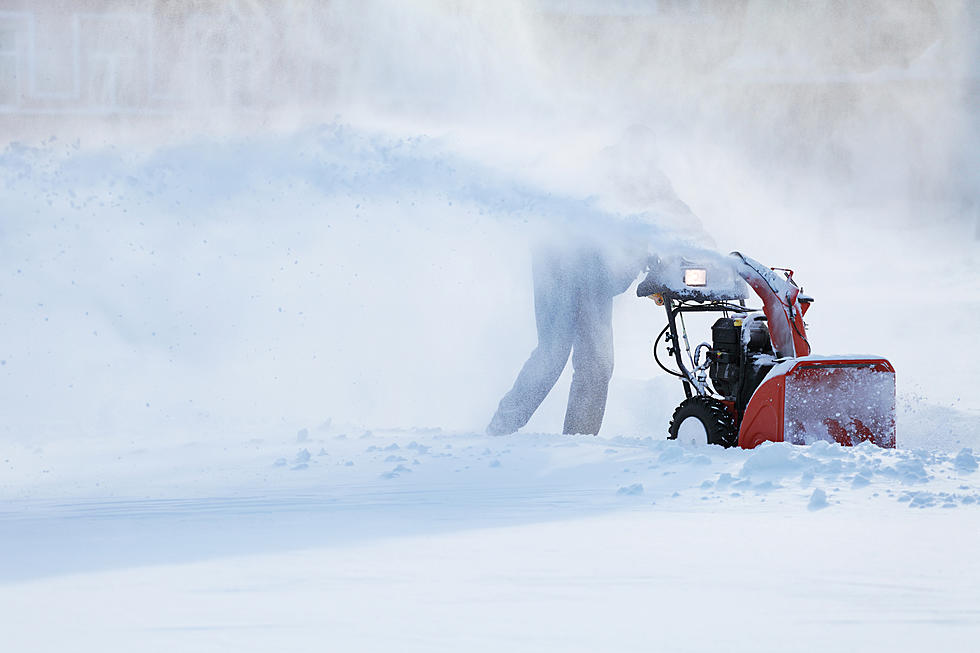
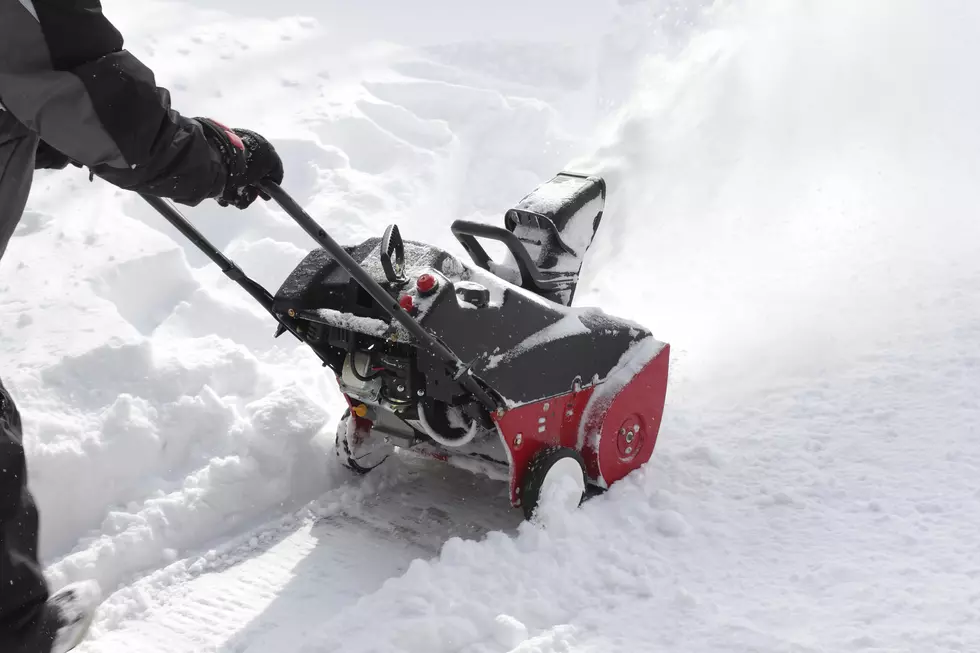
* IMPACTS...SNOW COVERED SLIPPERY ROADS AND WALKWAYS.
Hear are the snow total forecast maps from The National Weather Services in Binghamton, Albany and Buffalo.
NWS Binghamton Storm Total
Albany and Buffalo NWS Maps
More From WIBX 950