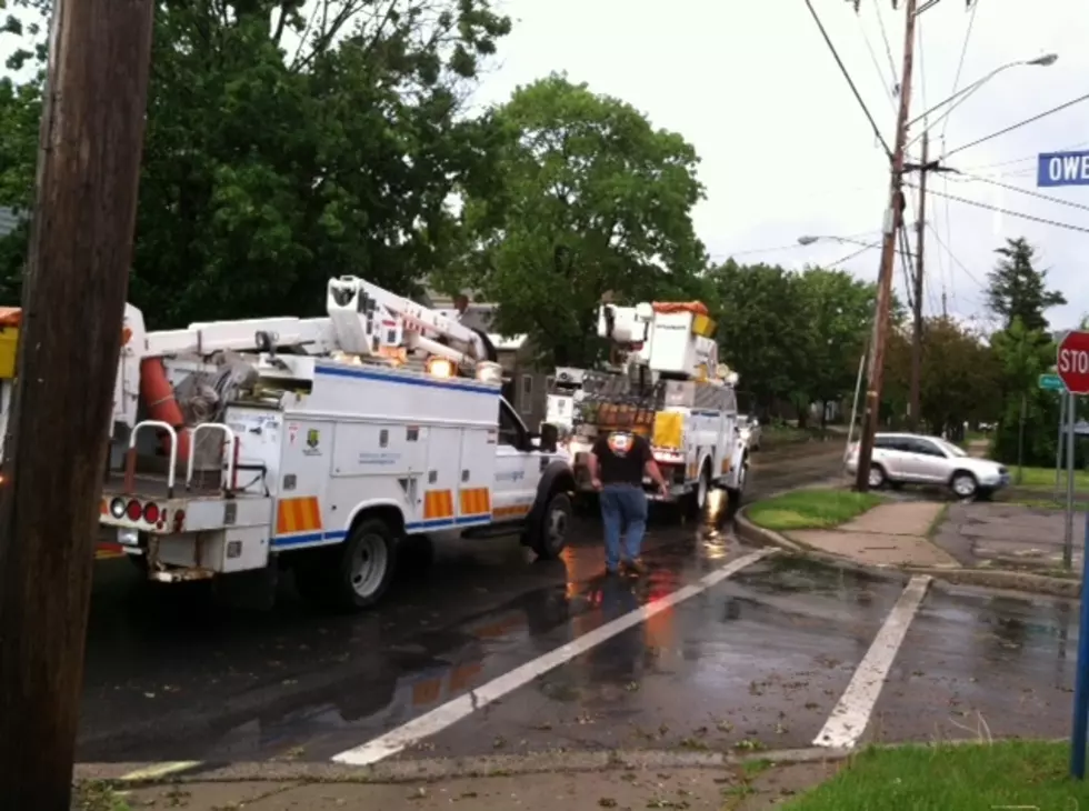
Meteorologists from the National Weather Service in Binghamton are tracking a weather system moving into New York State on Wednesday that presents a heightened risk for severe thunderstorms.
The Farmer’s Almanac has released its 2026-2027 winter forecast, and New York could be facing a complicated season with heavy snow, ice, rain, and rapidly changing conditions.
Central New York has a small but real tornado risk this afternoon and evening if storms develop and rotate. This comes after record-breaking heat Monday and another hot day today with highs near 90 and a chance to challenge more records.
A third tornado has now been confirmed in Cattaraugus County, New York, as part of an active spring storm pattern. The EF-0 twister was brief but caused scattered tree damage.
The second tornado of 2026 in New York has been confirmed in Machias, Cattaraugus County. The EF-0 tornado brought 75 mph winds and minor damage along a short path, and it hit the same area impacted by the first tornado earlier this year.
Officials are investigating two more possible tornado touchdowns in New York following severe storms, including areas near Machias and Steuben County. Neither has been confirmed, and more tornado activity cannot be ruled out.
Rising waters from heavy rainfall in Central New York have flooded roads, basements, and campgrounds. Videos show floating decks, fast-moving rivers, and more. Stay safe and avoid flood zones.
Rain and melting snow have triggered a flood watch for parts of Central New York, including Northern and Southern Oneida County, from 8 a.m. Tuesday through Wednesday evening.