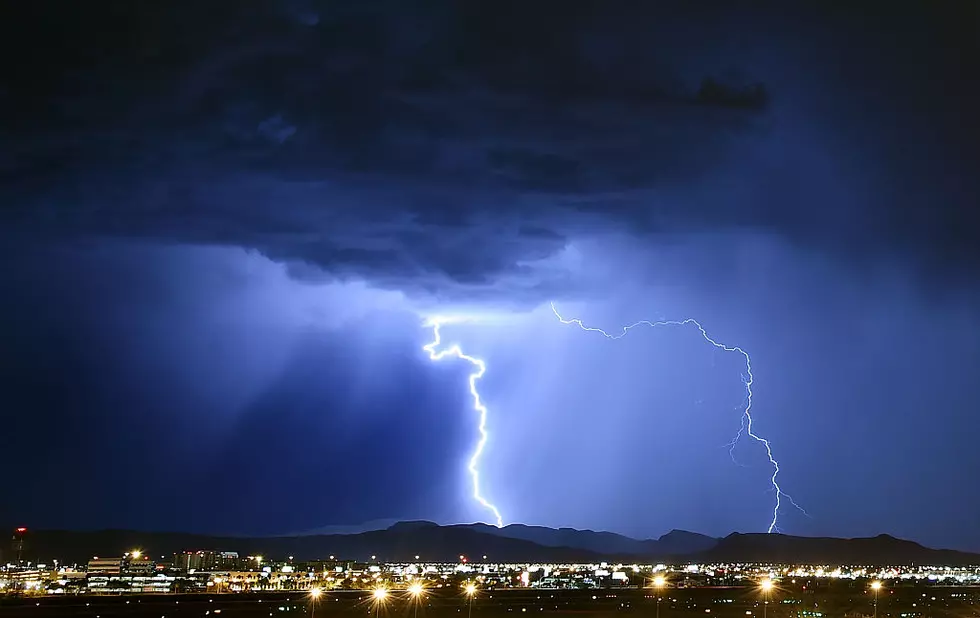
Freezing Alert: Cold and Extremely Stormy Weather Ahead for CNY
Another round of snow, sleet, and freezing rain is heading to Central New York, as is bitterly cold arctic air.
The endless carousel of extreme winter weather isn't stopping anytime soon - but it will look a little different than what we've come to expect.
Read More: Major Weather Pattern Change Coming to CNY This Month
The National Weather Service has issued a Hazardous Weather Outlook for most of Central New York - including Oneida, Madison, Onondaga, and Cayuga County.
The weather service is tracking a low pressure system that will "bring a potential wintry mix of snow, sleet and freezing rain late Wednesday night into Thursday." There also is the possibility of heavy freezing rain at times.
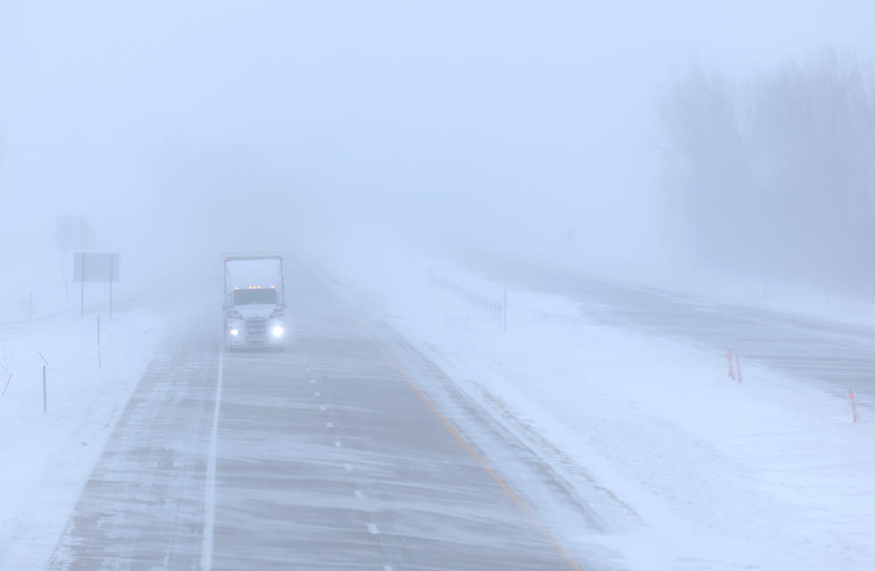
The NWS warns this weather may leave behind a glazing of ice on roads and sidewalks. Overnight temperatures Wednesday are expected around 9 degrees in the Utica area, and initial estimates say the region could see about a quarter of ice accumulation.
This, of course, brings the potential for scattered power outages as the ice may cause tree branches and power lines to buckle. The morning commute can also be dicey.
Immediately after this burst of wintry weather will be another low pressure system over the region on Saturday and into Super Bowl Sunday. Again, the front has the potential to bring even more snow and slushy conditions.
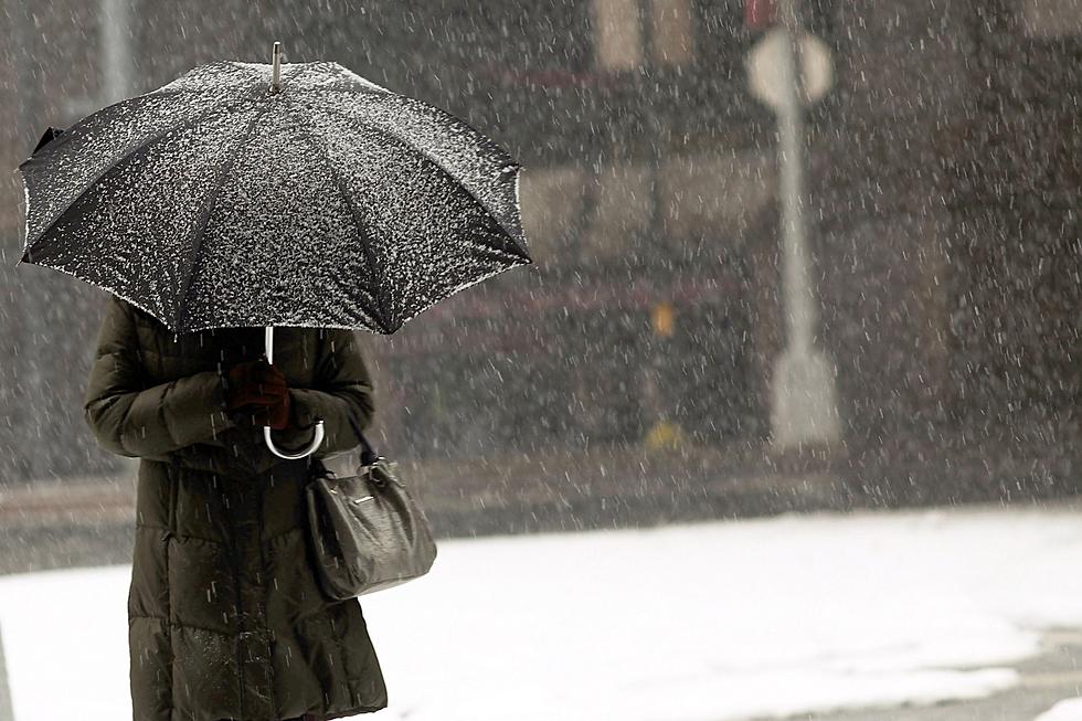
Exact snowfall totals for that storm are uncertain at this time, but the latter system is shaping up to be identical to the one expected to hit us tomorrow night.
Expect a weather update focusing on the weekend winter storm on Wednesday morning.
For the remainder of the week, temperatures will remain around the freezing mark during the daytime while overnight lows will remain in the mid teens and single digits.
The low temperatures may cause ice and black ice to form, so motorists are strongly encouraged to take extra precautions when driving to work or school in the early mornings
Central New York Bracing for Another Arctic Front
The National Oceanic and Atmospheric Administration (NOAA), issued its climate outlook for February 2025.
The good news is, average temperatures are likely to trend warmer-than-average for the month. The bad news is, we still have the polar vortex to deal with.

Long-range weather models like the Global Forecasting System (GFS) and the European Model indicate another blast of arctic air from Canada will push south around Tuesday, February 11.
The air will first impact the Minnesota and Michigan before flowing toward the East Coast.
Current maps show the air mingling with another low-pressure system that could turn all that moisture in it into a blast of snow.
Max Velocity of the Severe Weather Center reported, "The worst of [this system] will be in the Northeast. If you're in the Northeast, definitely prepare for a lot of snow over the next couple weeks. It looks like it's going to be very active."
This weather pattern, based on current weather models, looks like it will stick around until after Valentine's Day.
NOAA has updated its risk map for heavy snow between February 11 and February 17, and does have most of Central New York, the Capitol Region, and the Southern Tier under a slight risk for big snowfall events.
This means this is the area that is most likely to get a severe winter storm during that time.

"It could be significant," Velocity said. "February is notorious for some big winter storms."
It is still to early to provide exact snowfall estimates, but confidence should start growing around this time next week.
In the meantime, keep those snow tires on and those winter jackets out - you're going to need them for quite a while longer.
12 Things All New Yorkers Need to Have in Their Cars This Winter
Gallery Credit: Megan

15 Foods You Probably Refrigerate but Don’t Really Need To
Gallery Credit: Traci Taylor
More From WIBX 950