
Lake Effect Snow Could Make Weekend Travel Slippery and Hazardous
Here comes the snow. How much depends on where you're at.
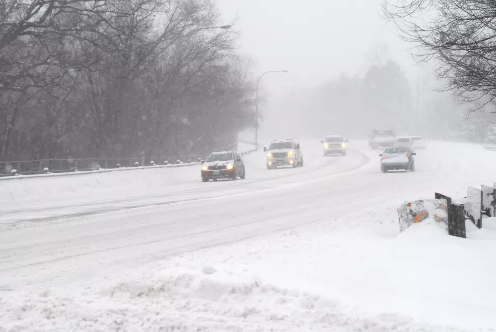
Central New York will see a few inches of snow this weekend, with more expected in the higher elevations and around Lake Ontario. A Winter Storm Watch is in effect Friday night through Sunday night in Northern Oneida, Northern Herkimer, Hamilton, Oswego, Jefferson, Fulton and Lewis Counties.
The weekend will start with rain Friday, and then change to wet snow Friday night into early Saturday in Onondaga, Madison, Oneida, Otsego counties. 1 to 4 inches of very elevation-dependent snow may fall with valleys seeing much less. Snow could cause slippery roads and hazardous travel, especially over the higher terrain.

After the first round of snowfall, lake effect snow is anticipated Saturday night and Sunday with additional snowfall accumulations, especially north of the New York Thruway.
Heavy snow is possible around eastern Lake Ontario with total snow accumulations of greater than 7 inches possible. Highest snowfall amounts are expected on the Tug Hill.

Utica/Rome Weekend Forecast
Friday: Mostly cloudy, with a high near 38. East wind 7 to 13 mph, with gusts as high as 24 mph.
Friday Night: Rain and snow, becoming all snow after 4am. Low around 34. East wind 15 to 17 mph, with gusts as high as 30 mph. Chance of precipitation is 90%. New snow accumulation of less than one inch possible.
Saturday: Snow showers before 7am, then rain and snow showers between 7am and 10am, then snow showers likely after 10am. High near 35. New snow accumulation of around an inch possible.
Saturday Night: Snow showers likely, mainly after 2am. Cloudy, with a low around 30.
Sunday: Snow showers likely. Cloudy, with a high near 33.
The 100 Best Places to Live on the East Coast
More From WIBX 950
