Messy Weekend Weather to Start New Weather Pattern in New York
After bombarding Upstate New York with snow, January is giving one final punch before it goes.
A thaw is heading to New York, as is a spell of rain and possibly sleet.
This is obviously great news for those dying to see grass again after dealing with nonstop snow cover all month long. On the downside, what may finally help with the melting is yet another storm.
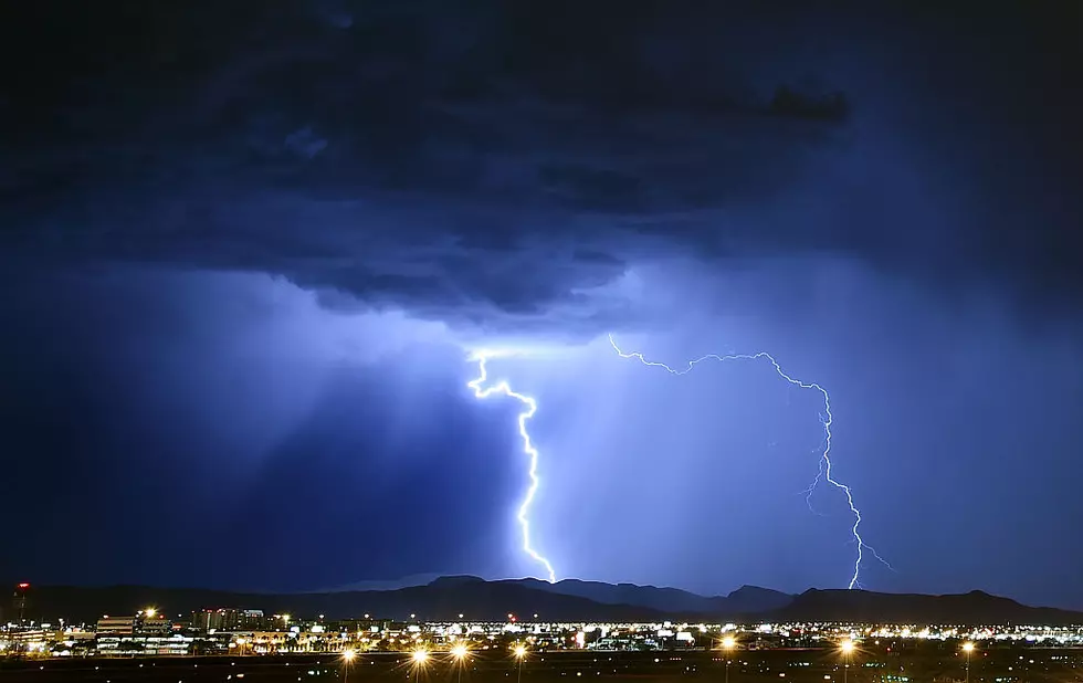
A low pressure system is working its way toward the East Coast.
The National Weather Service has issued a Hazardous Weather Outlook for today, January 31, through Saturday.
A low pressure system will bring a period of freezing rain, wintry mix and snow to the area Friday morning into Friday night. Some light ice and snow accumulations will be possible.
This alert is in effect for Oneida, Madison, Onondaga, Seneca, Schuyler, Cayuga, and Yates County.

Although roads have been mostly cleared following the latest lake effect system, motorists should exercise caution when heading into work due to the possibility of ice.
This latest storm also could produce isolated snow in areas, but accumulation estimates are on the very low side with most areas seeing between 1 to 3 inches. Areas in the hills and higher elevations could see a little more, but the difference in accumulation appears to be minor compared to previous winter systems.
Ray Stagich of The Weather Channel, says this storm marks the start of a brand new weather pattern in New York.
Read More: Massive Weather Change Coming to CNY in February
This new trend has milder weather flowing from the West and superseding the cold air that had been coming from Canada and the Arctic.
"These systems swing through pretty quickly with mild air first, then dry colder air back behind," he previously told WIBX.

Stagich added the days of lake effect systems are dwindling, thus giving way to what he calls "synoptic" snow, which is brought in via low pressure systems like the one we're seeing on the final day of January.
Synoptic snow systems are larger events than lake effect systems, which deliver snow through narrow bands. Basically, the latter is basically nor'easter and blizzard events that are capable of spreading over a vast amount of land.
Stagich told WIBX he doesn't see any indicators of a massive, snow-making event on the radar "over the next 6 to 10 days, and possibly even longer."
However, it is unlikely these systems will miss the area entirely for the remainder of the season. "I can't imagine we don't get zero," said Stagich, estimating that there could be one to two systems per month.

However, he said that snowfall will be entirely dependent on temperatures. With February skewing warmer, it's possible these heavy snowmaking events could dump rain on us instead.
That being said, the snow cover we've seen all throughout January should mark its days.
Utica 5 Day Forecast from the National Weather Service:
Friday: Showers early, becoming a steady rain later in the day. Snow may mix in. High 39F
Friday Night: Snow in the evening will give way to partly cloudy conditions overnight. Low 12F.
Saturday: Partly cloudy. High 18F.
Sunday: Cloudy. Snow likely in the afternoon. High 29F.
Monday: Rain showers early mixing with snow showers later in the day. High 42F.
Tuesday: Considerable cloudiness. High 28F.
Looks like the February thaw is coming. Hang tight, spring fans, we can finally start seeing the light at the end of the winter tunnel.
Legend Of Nazi Treasure Buried In Upstate New York
LOOK: This is where homes are selling the fastest right now
Gallery Credit: Stacker

U.S. Government's Updated "Do Not Travel" List
Gallery Credit: Canva
More From WIBX 950