Weather Alert: Heavy Rains Could Flood Parts of Central New York
Areas around Central and Upstate New York could soon be under water due to forecasted severe weather.
Let's start with the good news: Winter has most likely ended. The National Weather Service is forecasting above average temperatures across New York over the next 2 weeks.
While the days of 50 and 60-degree weather are finally here, the Empire State is now bracing for a different weather issue: flooding.

A Hazardous Weather Outlook has been issued for Cayuga, Chenango, Madison, Oneida, Onondaga, and Otsego County.
Also, a Flood Watch was recently issued for Oneida County, which runs from Sunday morning until Monday evening, March 17.
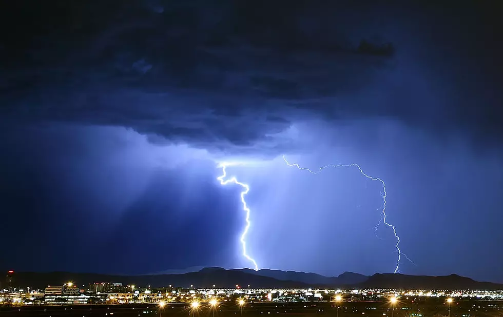
The National Weather Service in Binghamton warns heavy rain is on the horizon and paired with the expected warm temperatures, flash flooding conditions are likely in certain areas.
Starting Sunday, the NWS warns:
Periods of rain may produce 1.0 to 1.5 inches of rain Sunday through Sunday night. This rainfall combined with a significant snowpack across northern Oneida County will likely result in flooding. Fish Creek is of particular concern for flooding.
For the rest of the Mohawk Valley, the NWS warns that certain areas could experience localized flash flooding and strong, heavy winds.
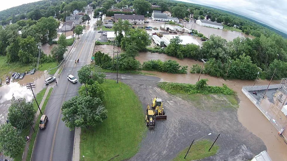
Areas prone to flooding should make prepare ahead, including the area around Kirkland and Clinton by Oriskany Creek, as well as homes near Sauquoit Creek, and residences along the Mohawk River.
These places and low-lying locations should prepare for excessive runoff from rivers, tributaries, creeks, and streams. Ice jams may also pose a risk as bodies of water continue melting.
Road closures and flood watches or warnings are possible in the coming days.
At this time, the Hazardous Weather Alert remains active through Wednesday, March 19.
Adding to the increased risk for flooding is the continued melting of New York's snowpack, with some areas still covered in feet of snow.
Creeks, rivers, and streams across Upstate New York are already ballooning from the added water, causing some roads to already become partially submerged.

The New York Department of Environmental Conservation also issued a warning to hikers, especially those planning to visit the Adirondacks or the Catskills because of the new weather-related risks.
Read More: NY DEC Warns Hikers of Increased Avalanche and Flood Dangers
The current forecast by the NWS calls for rain to start developing overnight on Saturday, with "less than a tenth of an inch possible."
Rain is said to become steady on Sunday, with temperatures flirting with 70 degrees in the Utica. Showers will persist through Monday morning, with temperatures set to hit the mid-40s.
Ending on a positive note again, spring-like weather returns by next Tuesday, with sunshine and temperatures close to or above 60 in the forecast.
6 Tips To Mininmize Damage From Flooding In New York
Gallery Credit: Brett Alan

The Great Flood of 1913, Upstate NY
Gallery Credit: Maria Danise
Incredible Photos Show The Power Of Mother Nature With Flooding In Morris New York
Gallery Credit: Dave Wheeler
More From WIBX 950