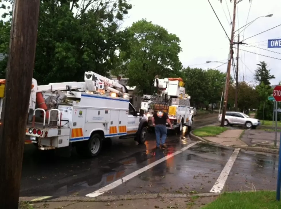
Flash Flood Watch Issued In Central New York
The National Weather Service (NWS) has issued a Flash Flood Watch in CNY until 12 am tomorrow.
...FLASH FLOOD WATCH REMAINS IN EFFECT THROUGH THIS EVENING...
The Flash Flood Watch continues for Southern Herkimer-Southern Fulton-Montgomery-Including the cities of Ilion, Herkimer, Little Falls, Mohawk, Frankfort, Dolgeville, and surrounding areas through this evening.
* Much of this area has already received 3 to up to 9 inches of rainfall since Saturday night. The highest totals have been reported in the high terrain of the eastern Catskills, mainly above 1500 feet. Showers and thunderstorms will become widespread today through this evening resulting in additional rainfall saturating the soils. Several inches of additional rainfall is possible if storms train across the same area, which could result in flash flooding.
* Rainfall rates will exceed an inch an hour at times which could cause washouts of roads. Minor flooding may also occur along main stem rivers, but flash flooding is possible for small streams, creeks, and brooks, as well as in urban areas.
PRECAUTIONARY/PREPAREDNESS ACTIONS...
A Flash Flood Watch means that conditions may develop that lead to flash flooding. Flash flooding is a very dangerous situation.
You should monitor later forecasts and be prepared to take action should Flash Flood Warnings be issued.
A band of moderate to heavy rain extends from around Corning/Elmira up to Syracuse at this hour...Convection still expected to develop again this afternoon with very efficient rain producers in any of the storms...which if this continues will help heat up the low levels and destabilize the boundary layer...leading to potentially deeper convection and heavier rain. There is some indication of scattered deep/intense convective cells from most of the latest high res model guidance this afternoon into the evening hours. Heavy rainfall rates of 0.5 to 1 inch per hour in the most sensitive areas will quickly lead to more flooding. NWS
NWS Forecast:
More From WIBX 950


