Slippery Roads Coming to Parts of Central New York
Winter Weather Advisory in Effect in Parts of CNY
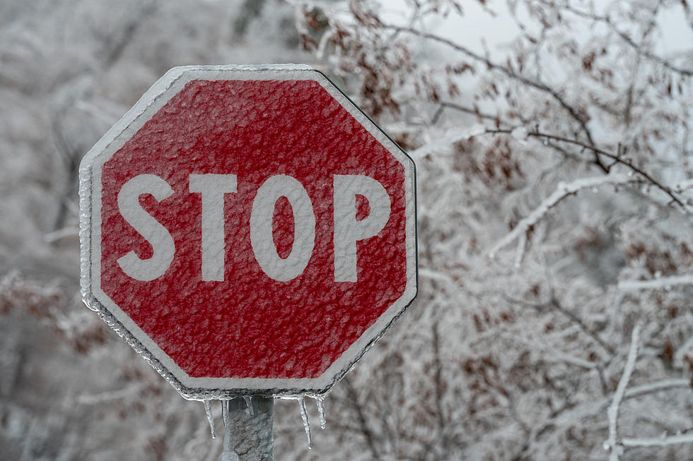
Central New York drivers, brace yourselves — slippery roads aren’t done with us yet.
A winter weather advisory is in effect from 9 AM Tuesday (3/3/26) until 1 AM Wednesday (3/4/26) for Otsego and southern Oneida Counties.
That means a mix of snow and ice is on the way, so your morning coffee might need to come with an extra side of patience.
What to Expect
The National Weather Service says total snow accumulations could reach up to two inches, with ice glaze adding a slick layer on top. That’s the kind of weather that makes your tires slip, your wipers work overtime, and your nerves test-drive-level tense.

This advisory covers Otsego and southern Oneida Counties from 9 AM Tuesday through 1 AM Wednesday. Basically, it’s going to be messy for anyone traveling through the area during the day and evening commute.
Drive Carefully
Plan for slippery roads, leave extra time to get where you’re going, and maybe reconsider that after-work coffee run if your car doesn’t like a little skating.
The hazardous conditions could make Tuesday evening commuting a real test of patience, so slow down, stay alert, and give yourself extra room between cars.
Bottom Line
It’s classic early-spring CNY weather: snow, ice, and a little chaos on the roads.
READ MORE: The Central New York Pothole Survival Guide
The good news is that an early taste of spring will follow the winter weather. Sunshine and temperatures in the 50s are coming later this week. We may even reach the 60s on Saturday.
Utica/Rome Long Range Forecast
Today: Snow showers likely before 3 PM, then rain and snow showers between 3 PM and 5 PM, then rain showers and snow showers, possibly mixed with sleet after 5 PM. High near 35. Total daytime snow and sleet accumulation of less than a half inch possible.
Tonight: Rain and snow showers before 10 PM, then a chance of rain showers between 10 PM and midnight. Low around 33. New snow accumulation of less than a half inch possible.
Wednesday: Mostly cloudy, then gradually becoming sunny, with a high near 44.
Wednesday Night: A slight chance of freezing rain between 1 AM and 4 AM, then a slight chance of rain after 4 AM. Partly cloudy, with a low around 29.
Thursday: A chance of rain, mainly in the afternoon. Partly sunny, with a high near 47.
Thursday Night: Rain. Low around 39.
Friday: A chance of rain in the morning. Mostly cloudy, with a high near 48.
Saturday: Rain likely, mainly in the afternoon. Mostly cloudy, with a high near 63.
Sunday: Partly sunny, with a high near 54.
Monday: Mostly sunny, with a high near 59.
19 Sure Signs Spring is Near in CNY
More From WIBX 950