3 More Winter Storms Are Heading for Upstate New York
At least three more winter storms are heading towards the northeast and Upstate New York over the next 14 days, according to forecasters. This, after a warmer and quieter start to the winter season in November and December.
Storm #1
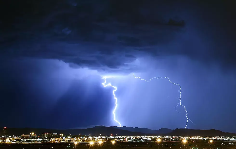
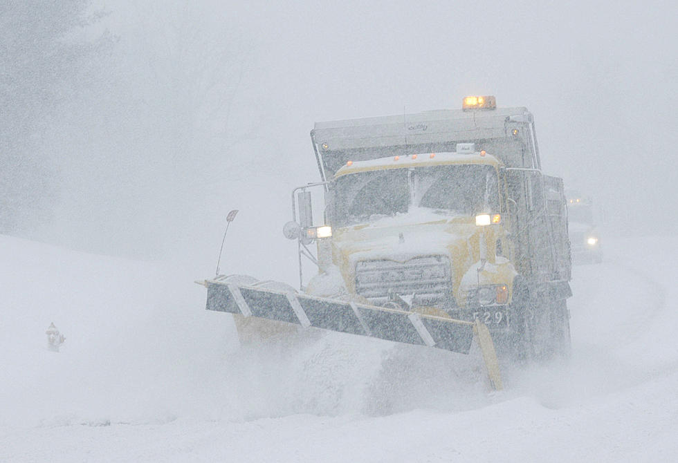
Meteorologist Craig Flint of WUTR said the first weather event will come Tuesday and Wednesday of this week and the storm's punch will feature dangerous high winds. The National Weather Service has issued a high wind warning for the Mohawk Valley from 3 p.m. Tuesday, until Wednesday at 4 a.m.. Flint says precipitation will start out as snow on Tuesday, and as temperatures rise to about 41 degrees on Wednesday, the snow will potentially turn to sleet, freezing rain and all rain. Cooler weather moves in on Thursday, as precipitation turns to all snow, albeit tapering precipitation.
Storm #2
Craig Flint is very apprehensive about making storm predictions too far in advance, and that would include predicting the severity, or lack thereof, regarding the storm to hit Central New York this weekend on Saturday. Early predictions by national forecasters are calling this a less severe weather event, as compared to the snowstorm this past weekend, and this week's high wind / mix precipitation weather disturbance.

Storm #3 and #4
Currently, although it's way too early to tell, there are two weather disturbances brewing into next week that could affect our weather here in the Mohawk Valley. A burst of arctic air will drop high temperatures next week down into the low 20s, so far, the coldest of the season. A snow event is possible for next Tuesday, and also next Saturday and Sunday.
Flint says, it's way too early to tell what to expect this weekend, let alone next week and weekend.
"Let's just focus right now on the storm that's right in front of us, and the high winds that are expected to come along with it." Flint said, the higher elevations will see stronger winds and wind gusts.
Here's the latest warning from the National Weather Service.
...HIGH WIND WARNING IN EFFECT FROM 3 PM TUESDAY TO 4 AM EST WEDNESDAY...
WHAT...Southeast winds 30 to 40 mph with gusts up to 60 mph expected.
WHERE...Northern Oneida, Yates, Seneca, Southern Cayuga, Onondaga, Madison and Southern Oneida counties.
WHEN...From 3 PM Tuesday to 4 AM EST Wednesday.
IMPACTS...Damaging winds will blow down trees and power lines. Widespread power outages are expected. Travel will be difficult, especially for high profile vehicles.
ADDITIONAL DETAILS...The strongest wind gusts will occur in areas of elevated terrain, and along north and west facing slopes.

The Top 10 Snowiest Cities in New York State
Gallery Credit: Megan
10 Worst Years For Snow In Western New York
Gallery Credit: Getty Image, Canva Image, Pat McMahon
More From WIBX 950