GALLERY: Secondary Road Border Crossings Between New York State & Quebec Are Quaint
My obsession with maps continues. Recently, I was visiting my dentist for a semi-annual check-up. Rarely do I visit without ending up scheduling a return trip for some sort of dental work.
My dental hygenist has a very large satellite map of the Central and Northern areas of New York State which I have found to be very fascinating for the many years I've sat in the dental chair. I even searched online for a copy of it and was successful. It hangs on the wall of my dining room.

As I was looking at my dental hygienist copy of that New York State satellite map, I noticed some smaller, secondary roads that don't just stop at the border. Several continue into Quebec.
I guess that's not a weird thing, but never having traveled on secondary roads near the New York and Quebec border, I just figured they would end at each border to prevent people from crossing the border in the middle of nowhere.
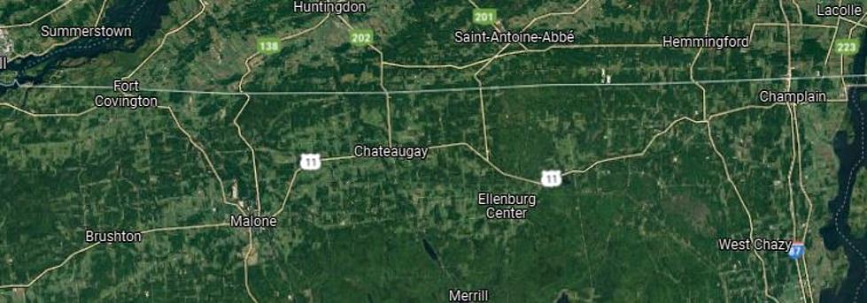
Well, as I zoomed in on Google Maps, I saw that these secondary roads all do have a border checkpoint. And most of them are very small as you might expect. I suppose it makes sense to have these smaller crossings since the only major northern crossing between the St. Lawrence River and Lake Champlain from New York State into Quebec is Interstate 87.
Check out these secondary roads that connect New York State and Quebec. Most are taken from Google Maps on the Quebec side.
Secondary Road Border Crossings Between New York State and Quebec
Small Towns In the Southern Tier and Central NY
Six Strange New York State Laws
More From WIBX 950