Here’s What Central New York Needs to Know about Hurricane Lee
New York could be slammed by a powerful hurricane next week. How likely are we to face Hurricane Lee's wrath?
A powerful, category 5 hurricane is currently whipping around the Atlantic basin and current models warn it could barrel across the upper East Coast.
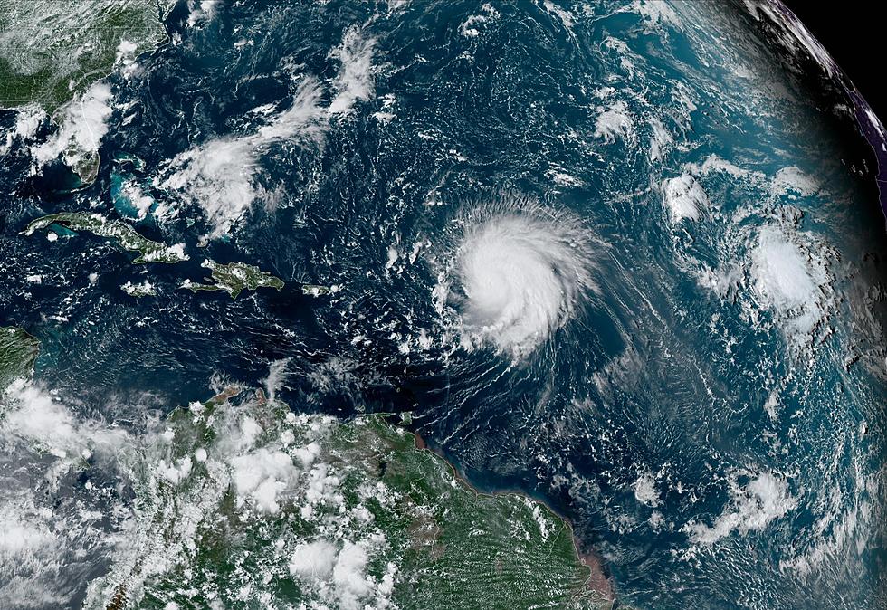
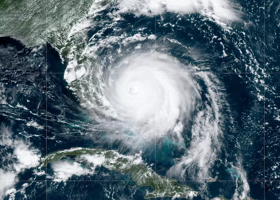
All eyes are on Hurricane Lee, which exploded from a Cat 1 to a Cat 5 storm within the span of 24 hours. The system underwent rapid intensification between Thursday and Friday, with its winds increasing from 80 mph to a devastating 165 mph as of early Friday morning.
As of Friday afternoon, Lee weakened to a Category 4 storm with winds whipping at 155mph. However, experts believe the storm will strengthen into a monster Cat 5 hurricane again by Friday night and obtain maximum winds of over 170 mph.
The storm is expected to start to weaken as it heads north into cooler waters.
What's the current prediction?
Forecasters are keeping a close eye on Lee because there's so much uncertainty over its trajectory.
Weather experts should have a clearer picture on Monday, but they are still advising the East Coast to remain on alert. Lee's pattern remains complex, with models predicting the storm will move parallel to the Eastern coastline.
Read More: Continued Washouts Wreaking Havoc on Adirondack Railroad
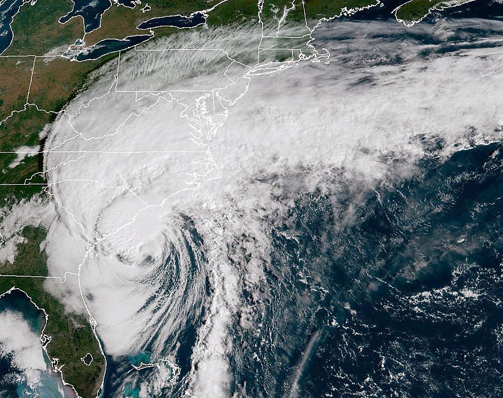
Should the storm keep the path, the East Coast need to brace for life-threatening rip currents and rough surf that'll produce waves up to 20 feet around New Jersey, New England and Long Island.

Some models say there's a slight chance Lee could veer further east and barrel out to sea. While that is the best case scenario, there are some projections that has meteorologists worried.
Another possibility, which is currently the most likely, has Lee impacting the Canadian Maritime provinces of New Brunswick, Nova Scotia, and Prince Edward Island.
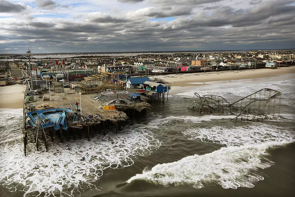
As for the possibility of Lee impacting the coastlines of Connecticut, Long Island, Rhode Island and Massachusetts, forecasters are calling for a 1 in 5 chance. However, some warn that Lee takes this path, it could strike the region in the same manner as Superstorm Sandy in 2012.
At the moment, experts haven't been able to rule out any possibility and say Monday will bring more certainty. As for when Lee is expected to head into the area, forecasters are leaning toward impact somewhere between next Friday night into Saturday.
The possible effects on Central NY
While our area is hundreds of miles away from the shoreline, we could still be impacted by Hurricane Lee - but it all depends on its path.
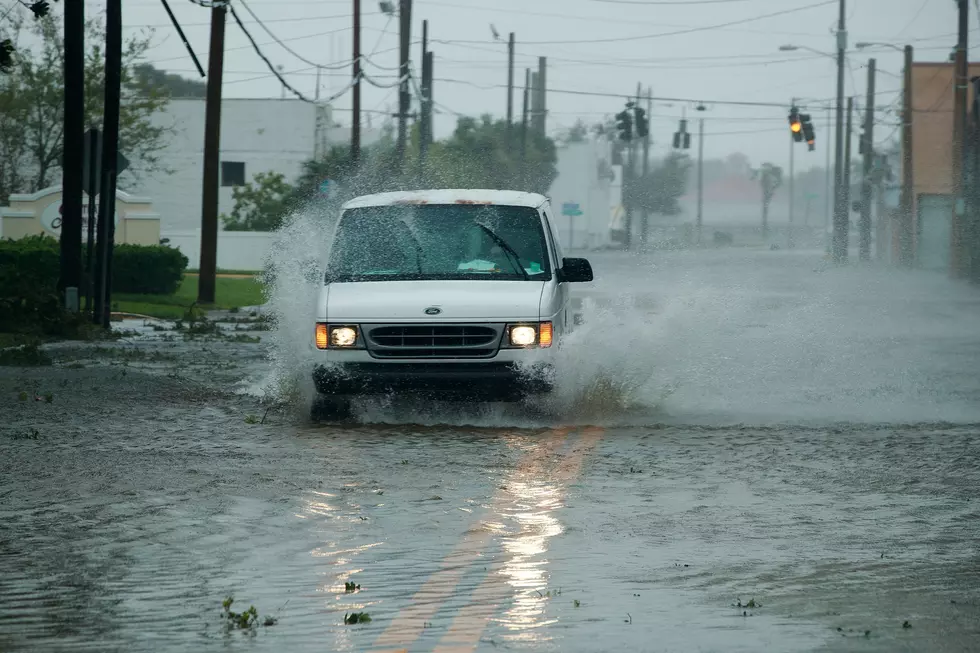
Should Lee make landfall on the East Coast, Central NY could face significant rainfall and flash flooding. Historically, storms that impacted the coastline brought 5 to 10 inches of rain, on average, inland. However, this all depends on Lee's intensity and where - or if - it strikes the Long Island coastline.
No need to panic
Weather experts are urging the public to stay calm and use this time to consider if they are prepared for a possible worst-case scenario.
As for why forecasters are urging residents not to panic is that Hurricane Lee will be nowhere as powerful as it is right now once it reaches the area. When the system heads further north into the Atlantic, the colder waters will rapidly weaken the storm.
In essence, the waters up here are too cold to support and sustain a system that strong.
Still, meteorologists are using Lee to help remind residents to revisit hurricane safety and to ensure they are adequately prepared.
Residents are advised to make sure their property is clear of items that could blow around during the storm, ensure their generators or backup power supplies are functioning, have emergency supplies like flashlights or bottled water on hand, fuel up their cars and go over their emergency plans with family.
You can check the full list of guidelines on the CDC's website.
Why is Lee such a powerful Hurricane?
Only a few other storms underwent rapid intensification like Lee. The only other storms to have ever had winds strengthen by over 80 mph within a span of 24 hours were Hurricane Matthew in 2016 and Hurricane Wilma in 2005.
As for why Hurricane Lee has transformed into a monster storm, weather officials say the system is being powered by the warm ocean waters, which are roughly 4 degrees above average this time of year.
Read More: Here's Why Central NY Should Worry about the South's Extreme Heat
Hurricanes draw their energy from warm water, so the bath-like water in Florida is like super-fuel for these storms. Because of the high temperatures, the National Oceanic and Atmospheric Association upped its Atlantic Hurricane prediction last month and called for an above-average season that would include 2 to 5 major hurricanes with winds of 111 mph or higher.
Another hurricane on the horizon
While all eyes are on Lee, another baby hurricane is also forming in the Atlantic basin - Tropical Storm Margot. The system is expected to reach hurricane status on Sunday, but at the moment is believed to be no threat to land.
However, Margot could play a powerful role in where Lee goes next week. The system could influence the waters to the east of Lee and if it breaks down the ridge, the powerful hurricane will barrel out to see.
Forecasts will become clearer by early next week. Keep listening to WIBX 950AM for up-to-date information on Lee.

Tips for Floods, Lightning, Tornado In New York State
Southern Tier Residents Share Summer Storm Photos
Gallery Credit: Traci Taylor
More From WIBX 950