
Hurricane Lee Vexing Forecasters, Impacts to Central New York Still Unknown
Despite previous assurances that we'll have an answer on Monday, it's still unknown how that goliath hurricane churning in the Atlantic basin will impact our region.
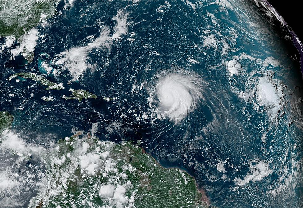
Hurricane Lee has downgraded to a powerful Cat 3 hurricane, with winds whipping at 120 miles per hour as of Monday afternoon. That is pretty much all forecasters are certain of at this time because there's too many factors at play that could influence where the storm heads next.
This also means it's still possible the hurricane can strike New York.
Forecasters say they should have a clearer picture by Wednesday, which is two days later than last week's promise of having a projected path by Monday.
Why all the uncertainty?
Hurricane Lee has proven to be an odd storm in terms of predictability and strength. Last week, the storm exploded from a Cat 1 to a Cat 5 storm within the span of 24 hours. The system underwent rapid intensification between last Thursday and Friday, with its winds increasing from 80 mph to a devastating 165 mph as of early Friday morning.
Read more: Here's What Central NY Needs to Know about Hurricane Lee
The only other storms to have ever had winds strengthen by over 80 mph within a span of 24 hours were Hurricane Matthew in 2016 and Hurricane Wilma in 2005. Currently, Hurricane Lee has stalled in the middle of the ocean. As it idles, it is slowing but growing in size. It is also expected to speed up again as it turns north, which could spell disaster for the East Coast.
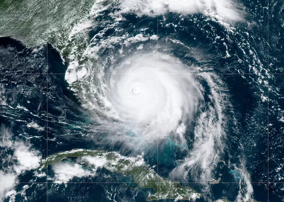
The big issue here is Lee is becoming a monster storm, which means the odds of the system having any impact on landfall is greatly increased. Currently, Lee's wind field stretches 75 miles from its center. On Sunday, the distance was 45 miles. It should be noted that tropical systems can have winds whirling as far as 185 miles from their cores. Pair in the fact that Lee's strength will oscillate over the next few days while it idles over the arm waters, areas like New England and the Northeast could face a significant impact. The cone of uncertainty, which is the fancy term meteorologists use to predict where a storm could potentially go, encompasses a large area that makes it hard to confidently nail down where Lee is going.
Long story short, if Lee's turn north veers to the west, areas north of the Carolinas will face coastal flooding, heavy rains and strong winds. Conversely, if the storm bears east, the East Coast will enjoy minimal impacts.
As for why Hurricane Lee has attracted so much attention from weather experts, it's because the system is being powered by the warm ocean waters, which are roughly 4 degrees above average this time of year.
Read More: Here's Why Central NY Should Worry about the South's Extreme Heat
Hurricanes draw their energy from warm water, so the bath-like water in Florida is like super-fuel for these storms. Because of the high temperatures, the National Oceanic and Atmospheric Association upped its Atlantic Hurricane prediction last month and called for an above-average season that would include 2 to 5 major hurricanes with winds of 111 mph or higher.

We should have a clearer picture of Lee by Wednesday or Thursday. Keep listening to WIBX 950AM for up-to-date information on Lee.

Tips for Floods, Lightning, Tornado In New York State
Southern Tier Residents Share Summer Storm Photos
Gallery Credit: Traci Taylor
More From WIBX 950


