Another Winter Storm is Coming on Monday. How Much Snow Will We Get?
Another Winter Storm Watch has been issued for our area this week; how much snow will this one bring potentially?
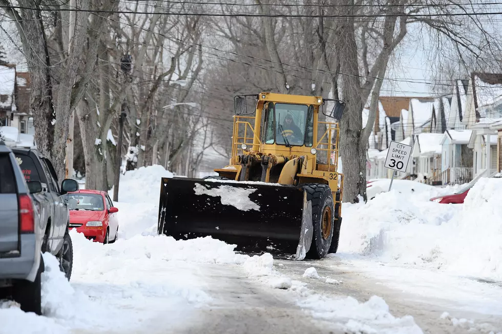
The National Weather Service is predicting the possibility of heavy snow beginning late Monday night into late Tuesday. A Winter Storm Watch was issued on Sunday afternoon by the National Weather Service in. Binghamton. A Winter Storm Watch means there is a potential for heavy snow and hazardous driving conditions.
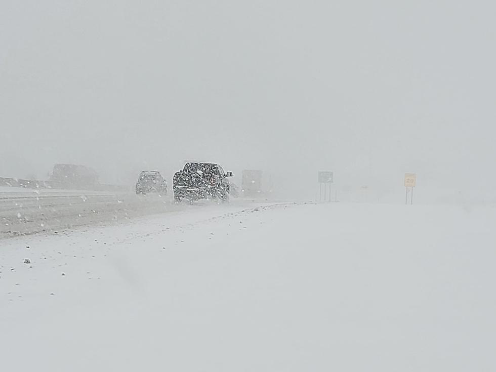
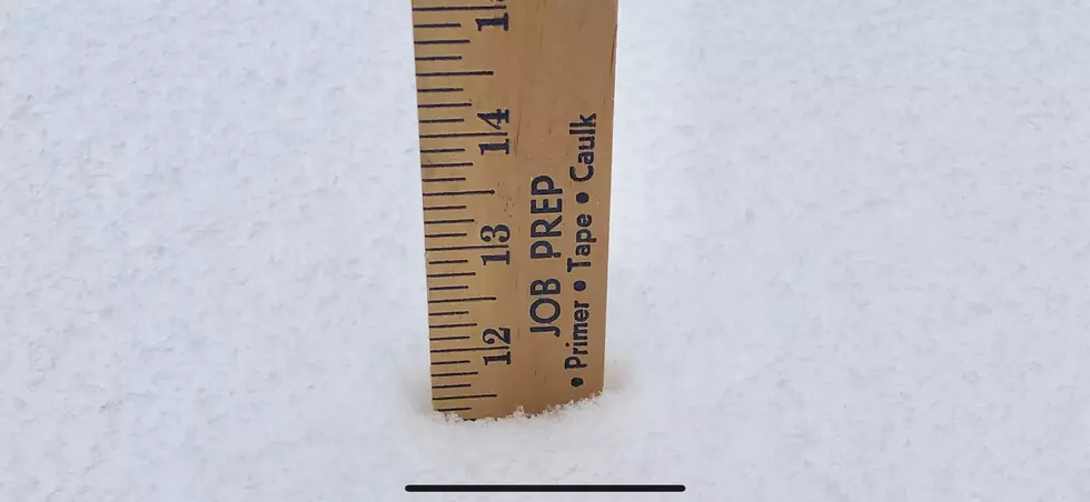
How much snow is expected? The National Weather Service currently predicts about 1 foot of snow to accumulate between late Monday night and Wednesday morning, with locally higher totals possible. Forecasters are predicting hazardous driving conditions Tuesday morning through Tuesday night due to heavy and blowing snow.
Eyewitness News Chief Meteorologist Rachel Witter is predicting 8 - 12 inches of snow during the storm, with higher totals possible in heavy snow bands. Witter told WIBX on Monday both the morning and afternoon commute
Check back for additional updates.
More From WIBX 950