
Snow and Damaging Winds Possible in Central New York This Weekend
We could be dealing with a messy Monday commute and school closures based on how fast and hard a developing system hits us late Sunday night.
Meteorologists are tracking a rapidly moving and intensifying system that's barreling toward the East Coast.
The Current Forecast
The low-pressure system is still a few days out, so the forecast could shift in our favor in the coming days. However, current expectations are calling for a messy Monday morning commute and possible school closures.
Rain is set to move into the region on Sunday with temperatures flirting with the low 50s, but the oncoming low-pressure system will pump cold air into the region and cause temperatures to plummet to the low 30s.
The National Weather Service is currently calling for snow to start falling after 2 in the morning on Sunday and say there is currently a 90 percent chance of precipitation. Snow showers are slated to continue through Monday with some spots of rain mixing in as the mercury hovers above freezing.

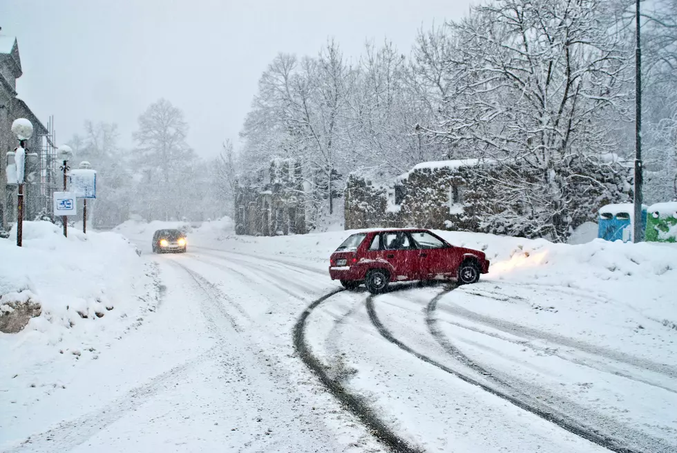
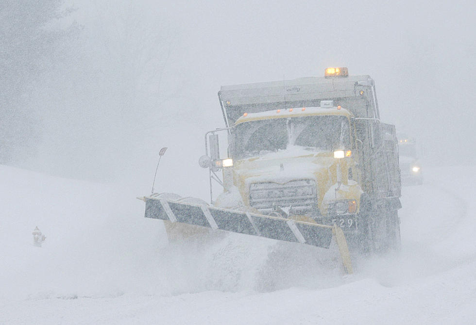
However, this means the roads could be a little messy during your Monday morning commute so motorists are advised to plan ahead. With the temperatures falling so fast overnight Sunday, forecasters are warning of the roads potentially freezing over and causing difficulty for commuters.
That could mean school delays or even cancellations for the kiddos depending on what this system ends up doing.
Read More: 2024 Will Be the Greatest Year for Northern Lights for New York State
Motorists are encouraged to give themselves plenty of time to travel the roads and to be mindful of hazardous road conditions such as black ice and low visibility. You can read more winter driving safety tips HERE.
With the storm being four days out, there is still room for the forecast to change,
What Some Weather Models Are Saying
Taking a peek at the European model (ECMWF), which is more accurate when it comes to medium and long-range predictions, is currently showing Upstate New York dealing with a heavier hit than Central New York.
However, snowfall amounts are entirely dependent on how fast this system blows through the region. If it keeps its current pace, we aren't very likely to see too much snow.
But, if the system slows, that is when we could see large, plowable snowfall amounts when the rain transitions over to a wintry mix.
The National Weather Service Storm Prediction Center is showing growing confidence snow will impact the region in some way. The system will gain strength and moisture from the Gulf of Mexico before pulling more juice from the Atlantic Ocean.
Currently, forecasts are calling for 1 to 3 inches of snow in most of Central New York, but some regions within Oneida and Herkimer County could see a more-moderate amount of snowfall. Either way, you might want to have your shovels and snow boots handy.
Aside from snow, the system will also produce some decent wind gusts in the area thanks to a powerful jet stream. As of now, Central New York could experience winds between 20 to 25 miles per hour and gusts up to 35 miles per hour. That's per the Weather Channel. Residents are advised to lash down their holiday decorations before Sunday.
Read More: Central New York Town Named Most Underrated Winter Destination
The winds could be powerful enough to bring down trees and power lines. That could mean power outages for New Yorkers, so residents are advised to have their generators ready to go and have plenty of batteries handy to power their flashlights in case of an outage.
Winds will grow stronger further east, with New York City and Boston slated to receive gusts up to 60 miles per hour. So, at least we don't have to deal with that!

Keep listening to WIBX for up to date weather. We will be keeping an eye on this system and update our list of school closures and cancellations.

The Top 10 Snowiest Cities in New York State
Gallery Credit: Megan
5 Vehicles That Don't Belong On The Roads In A Snowstorm
Gallery Credit: Clay Moden
10 Worst Years For Snow In Western New York
Gallery Credit: Getty Image, Canva Image, Pat McMahon
More From WIBX 950


