Nor’easter Threatening Upstate New York with Snow and Strong Winds Next Week
The path of a powerful storm system moving across the U.S. has shifted, potentially putting New York on its direct path.
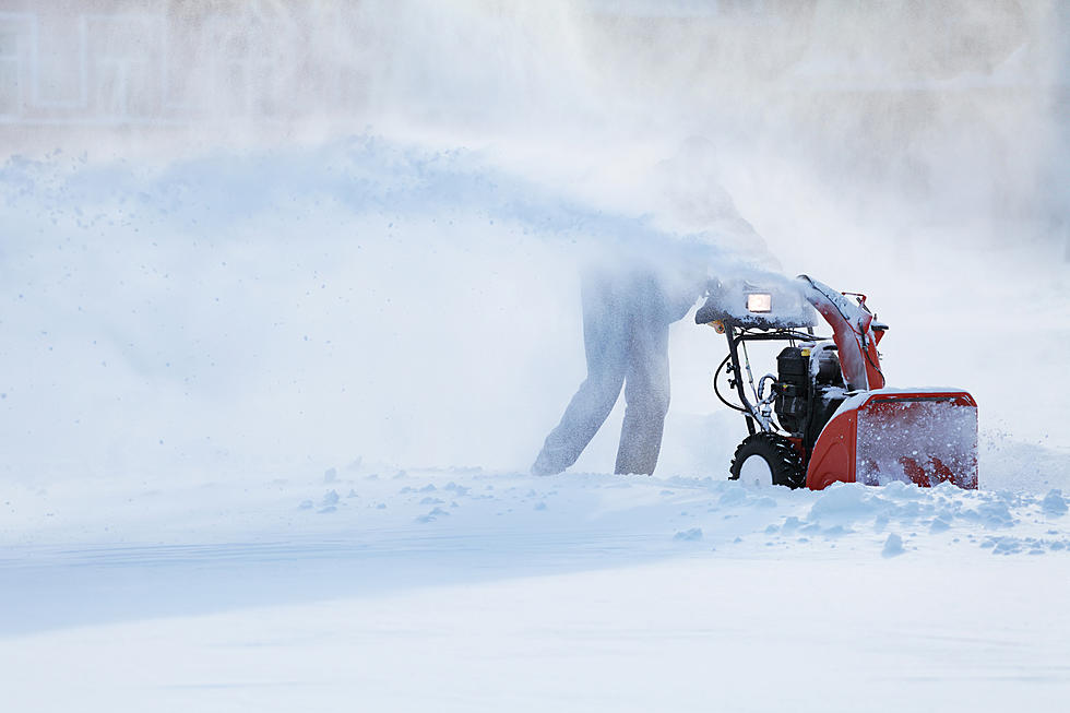
Forecasters say the system is expected to develop into a Nor'easter in the coming days and possibly dump snow across parts of New York midway through next week.
Snowfall totals are not yet known at this time. Preliminary estimates should arrive by Monday, when the system is closer.
The Preliminary Forecast
Earlier this week, meteorologists along the East Coast began tracking a storm system over the Pacific that had the potential to form into a full-blown nor'easter. Because it is a rapidly forming, low pressure system, it has the potential to become a "bomb" nor'easter, which means stronger winds and the chance for hail and ice damage.
Initial estimates said the storm would bring heavy rain as it heads toward New England, and changes over to snow over Maine and Massachusetts.
Now that the system is closer to the West Coast's weather balloons, forecasters have a better idea of what path it'll take across the United States and, currently, early predictions have New York potentially seeing one last blast of snow.
The National Weather Service has yet to issue any weather alerts because the storm is still too far away, but snow has been added to the Wednesday night forecast for Utica, NY.
Read More: Popular NY Ski Resort, Snowmobile Trail Close for the Season
Accuweather also added snow to Wednesday and Thursday's forecast for Utica, but snowfall appears to be mixing with rain at this time.
Although snow is not included in Weather.com's forecast for Wednesday and Thursday, rain and breezy conditions are.
All three are calling for colder temperatures, with overnight lows for both days in the low to mid 30s.
Likelihood of "Significant" Snowfall in New York
Forecasters and weather enthusiasts aren't ruling out the possibility of heavy snow next week - especially in the areas of higher elevation. However, all acknowledge the forecast can change as the storm system gets closer to the East Coast.
YouTuber Direct Weather, which pulls its data from a variety of weather maps and models, believes the storm is enough to shake up the possibility of renewed lake effect snow.
Skip to the 9-minute mark in the video to hear the prediction when it comes to storm activity and likelihood for snow:
Current predictions have the system dragging arctic air from the north, which will push the already chilly temperatures in the forecast even lower, thus increasing the likelihood for snow.
With the system 5 days out, it's too early to confidently tell how much snow Central New York will receive, but some early models are predicting no more than 5 inches.
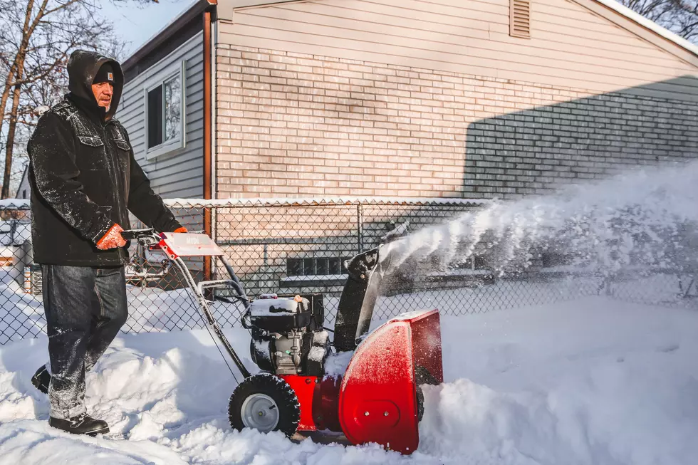
There is also increased risk for power outages, as the strong winds and wet weather can down trees, limbs, and power lines across the state.
What Out-of-State Forecasters are Saying
NBC Boston is eyeballing the nor'easters' impact in Massachusetts and is raising the possibility of "significant" snow, especially those further up north.
The reason why those closer to the Atlantic are in store for snow is because the system could run out of juice by the time it reaches their area, and could stall, resulting in even more snow dropping over the region.
The good news for us is, the spring-like temperatures are expected to immediately return after this severe weather system. Snow could start melting as early as Thursday afternoon, with initial forecasts putting the day's high around 50 degrees.
Temperatures will continue rising and are expected to cross into the 60s by Saturday.
Are April Nor'easters Rare?

One may be wondering how common it is to see snowfall in the month of April.
The last time New York saw a nor'easter this late into the season was back in 2022, when a late season winter storm dumped up to 14 inches of snow in parts of the state. The storm was strong enough to knock out power to a significant portion of the state.
Overall, nor'easters in spring are extremely rare because low-pressure systems form when cold air from Canada mixes with warm ocean water temperatures. In short, these systems rely on drastic changes in temperature to sustain themselves.
As the season transitions into spring, that cold air flow is cut off and these systems lose a critical source of power.
Nor'easter season typically wraps by March and the likelihood for intense storms doesn't start up again until hurricane season kicks off in June.

Upstate NY & Capital Region Snowfall Totals March 23, 2024
Gallery Credit: Matty Jeff
These New York Counties Deal With More Snow Than Most Of America
The Top 10 Snowiest Cities in New York State
Gallery Credit: Megan
More From WIBX 950