“Reborn” Storm to Dump Snow in Parts of Upstate New York
A Nor'Easter is charging up the East Coast and will deliver whipping winds and even some snow to New York.
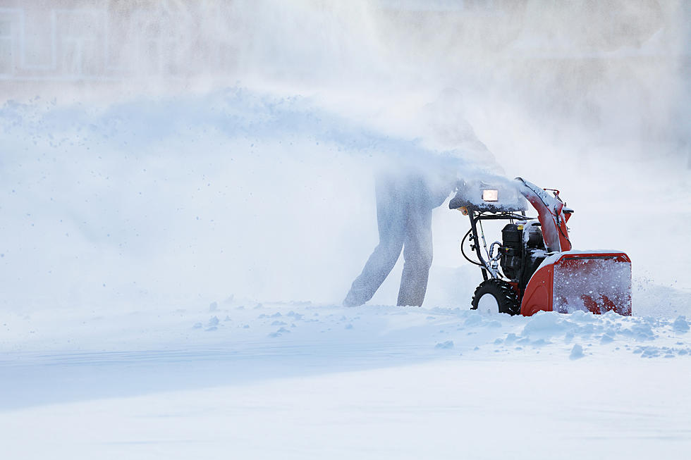
Are you ready to start shoveling? You might need to dust off your shovels this weekend because of a vigorous storm is poised to strike the Empire State.
"Reborn" Storm
Accuweather reports a low-moisture system is heading across the Midwest today, and will soon turn toward the East Coast.
That storm would have lost power, but it's set to clash with another storm that will span across Philadelphia, New York City ,and Boston.
This system will produce heavy rain that could cause flooding conditions in some areas. When these two systems meet, the storms will combine into a "reborn" nor'easter that'll rip across New York over the weekend.
Some areas will get doused in heavy rain, with some areas receiving as much as four inches between Friday and Sunday night.
Read More: Is Central NY in Store for a Super El Niño?
The worst of it will be on Saturday. Unfortunately, this means this'll mark the seventh rainy weekend in a row.
To make matters worse, chilly winds will whip across New York, with some gusts capable of reaching 40 miles per hour.
These winds will also bring temperatures down, which will bring snow to some parts of New York state.
Sunday's forecast
The cold air will begin creeping into the region on Saturday night. Accuweather warned:
Rain may change to snow and bring a slushy accumulation over the higher elevations of the Adirondack Mountains, southeastern Ontario and southwestern Quebec and perhaps a touch of snow over the ridges in the Catskill, Berkshire and Green mountains.
At the moment, the area with the highest chance of snow is the Lake Placid area. Snowfall estimates don't seem too bad, with forecasters saying there shouldn't be too much accumulation.
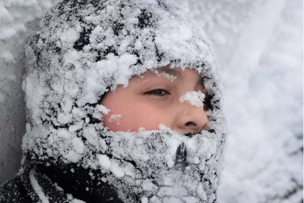
Some areas will be buffeted with blustery and bone-chilling conditions due to the strengthening storm.
Read More: Old Farmer's Almanac Predicting a Cold, Snowy Winter
Those winds will also make the outside air feel a lot colder than it actually is.
Residents who have their Halloween decorations out are advised to lash them down or risk the possibility of losing them.
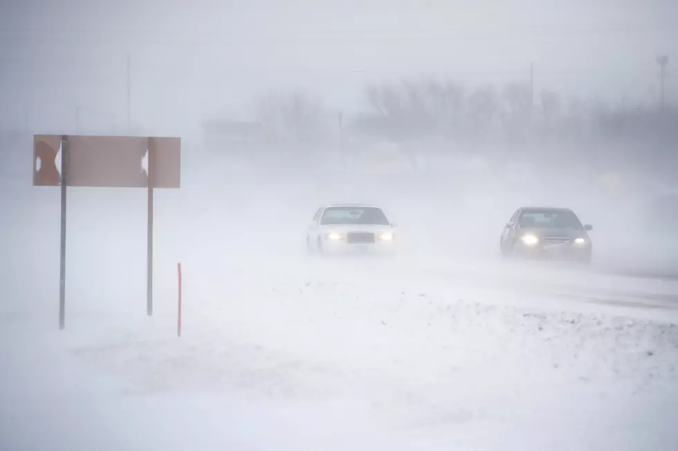
"Winds will average 15-30 mph with gusts of 30-40 mph and an AccuWeather Local StormMax™ of 55 mph," Accuweather warned, adding there's a potential for downed branches and trees that could cause power outages.
The Forecast Next Week
Thankfully, this storm may mark the end of the soggy and cloudy conditions we've been suffering through for months.
In the wake of the storm, beginning early next week, a long stretch of dry weather is likely to follow in the Northeast and adjacent areas of Canada.

While we will enjoy sunny, clear skies - the temperatures will also begin sinking like a stone. We will soon start waking up to frost and some freezes as early as next week.
That could create semi-hazardous driving conditions, so be careful when heading to work in the morning.
This span of crisp, cold weather is expected to last into the first week of November - so chances are good next weekend will finally be dry enough to enjoy some apple picking and other fall activities.

15 Things To Look Forward To Before Snow Flies In Western New York
Gallery Credit: Brett Alan
Snow Removal Etiquette To Remember In New York State
Gallery Credit: Brett Alan
More From WIBX 950