The road to recovery is long for those devastated by the Rome tornado, but a fund has been set up to help those with the greatest need and applications are now being accepted.
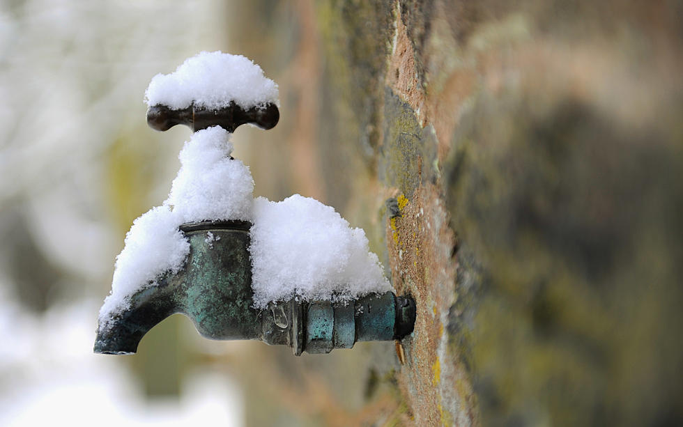
Since Valentine's Day, the Mohawk Valley weather has been up and down, yet we've seen a return to winter. Expect similar weather for the next 10 days with at least one surprise coming this weekend.
Parts of New York City were hit by heavy rains and flash flooding on Friday after heavy rains moved in and continued through the afternoon. Streets and subways overflowed with water in parts of the city creating a traffic nightmare in America's largest city.
What an amazing run of dry and warm weather we've enjoyed over the last several days in Utica-Rome and the Mohawk Valley. Now, as we get set to head into the first weekend of June, prepare for some relief and some precipitation.
The National Weather Service is predicting warmer temperatures for Wednesday, but rain and high winds before temperatures drop back down later in the week for the start of December.
A former Utica Meteorologist is currently hospitalized in South Carolina after suffering a brain hemorrhagic stroke recently, and friends have started a GoFundMe page to pay for medical expenses according to an online post.
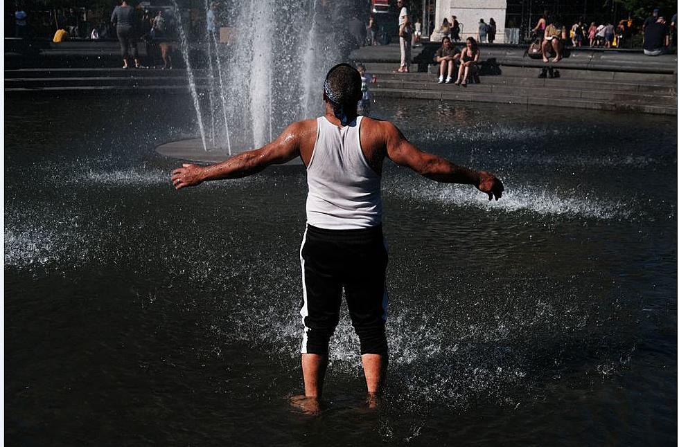
Central New York and the Mohawk Valley are in for another day of heat and humidity on Friday, but the National Weather Service is predicting significant relief this weekend.
The Utica-Rome Mohawk Valley region has seen an abnormal amount of rainfall over the last 2-weeks. According to the National Weather Service, in the last 14-days, parts of the Mohawk Valley have gotten upwards of 10 inches of rain.
I know, we're just recovering from yesterday's storm, but do you remember it's also the 4th anniversary of the massive Utica flood with a tornado in 2017?